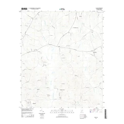
2014 Map of Claud
USGS Topo · Published 2014About this map
Chubbehatchee Creek and its many tributaries, including Townsend Cr and Haney Cr, carve a complex drainage pattern across this central Alabama landscape. Small settlements like Claud and Floyd anchor the rural road network, while the southern reaches show increasing residential development near Redland. The area's long-standing family and community foundations are visible through a significant density of burial grounds, such as China Grove Cem and the Marshall Cem near Crabapple Valley.
Find a feature on this map
92 named features on this map. Tap any name to fly to it.
Don’t see what you’re looking for? This feature index may not catch every label — zoom into the map to look around manually.
Map Details
Editions of this 2014 Claud Map
This is the sole edition of this map. No revisions or reprints were ever made.
Other maps of this area

1901 · Wetumpka
USGS Topo · 1:125,000

1901 · Wetumpka
USGS Topo · 1:62,500

1903 · Wetumpka
USGS Topo · 1:125,000

1906 · Dadeville
USGS Topo · 1:125,000

1953 · Montgomery
USGS Topo · 1:250,000

1955 · Phenix City
USGS Topo · 1:250,000

1956 · Montgomery
USGS Topo · 1:250,000

1957 · Phenix City
USGS Topo · 1:250,000

1957 · Montgomery
USGS Topo · 1:250,000

1958 · Phenix City
USGS Topo · 1:250,000