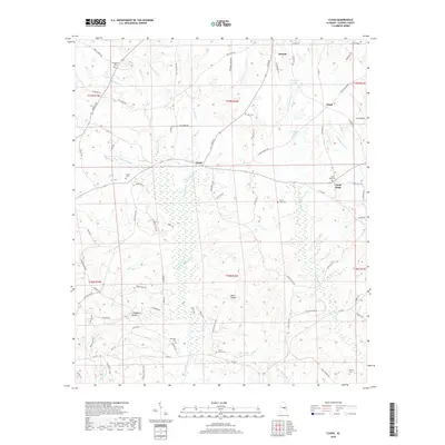
2018 Map of Claud
USGS Topo · Published 2018About this map
Eclectic sits at the northern edge of this landscape in Elmore County, serving as a gateway to a countryside defined by the winding course of Chubbehatchee Cr. The settlement patterns here reflect a tradition of rural community hubs like Claud and Good Hope, where local life once centered around small family farmsteads and numerous country graveyards. The terrain is marked by the prominence of Heck Ridge and drained by a complex network of waterways including Tumkeehatchee Cr and Wallahatchee Cr. Genealogists will find significant value in the distribution of family-named burial sites, such as China Grove Cem, Marshall Cem, and Sheppard Cem, which are scattered across the townships. The transition from the more settled northern hills to the lowlands of Crabapple Valley illustrates the shift in agriculture and land use during this modern era.
Find a feature on this map
89 named features on this map. Tap any name to fly to it.
Don’t see what you’re looking for? This feature index may not catch every label — zoom into the map to look around manually.
Map Details
Editions of this 2018 Claud Map
This is the sole edition of this map. No revisions or reprints were ever made.
Other maps of this area

1901 · Wetumpka
USGS Topo · 1:125,000

1901 · Wetumpka
USGS Topo · 1:62,500

1903 · Wetumpka
USGS Topo · 1:125,000

1906 · Dadeville
USGS Topo · 1:125,000

1953 · Montgomery
USGS Topo · 1:250,000

1955 · Phenix City
USGS Topo · 1:250,000

1956 · Montgomery
USGS Topo · 1:250,000

1957 · Phenix City
USGS Topo · 1:250,000

1957 · Montgomery
USGS Topo · 1:250,000

1958 · Phenix City
USGS Topo · 1:250,000