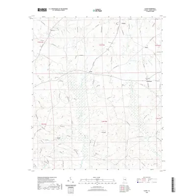
2020 Map of Claud
USGS Topo · Published 2020About this map
Eclectic anchors the northern reaches of this Elmore County landscape, where the town limits give way to a network of winding country roads and creek valleys. Central to the area is the settlement of Claud, situated at a rural crossroads that links smaller communities like Floyd and Good Hope. The terrain is defined by the significant drainage of Chubbehatchee Creek and its many tributaries, such as Meinzine Br and Abercomby Br, which carve through the undulating hills.
Find a feature on this map
94 named features on this map. Tap any name to fly to it.
Don’t see what you’re looking for? This feature index may not catch every label — zoom into the map to look around manually.
Map Details
Editions of this 2020 Claud Map
This is the sole edition of this map. No revisions or reprints were ever made.
Other maps of this area

1901 · Wetumpka
USGS Topo · 1:125,000
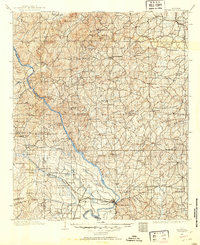
1901 · Wetumpka
USGS Topo · 1:62,500

1903 · Wetumpka
USGS Topo · 1:125,000

1906 · Dadeville
USGS Topo · 1:125,000

1953 · Montgomery
USGS Topo · 1:250,000

1955 · Phenix City
USGS Topo · 1:250,000

1956 · Montgomery
USGS Topo · 1:250,000

1957 · Phenix City
USGS Topo · 1:250,000

1957 · Montgomery
USGS Topo · 1:250,000

1958 · Phenix City
USGS Topo · 1:250,000