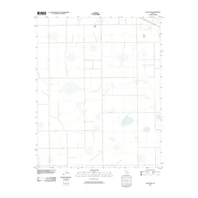
2010 Map of Claude SW
USGS Topo · Published 2010About this map
Mulberry Creek meanders through the heart of this High Plains landscape, which is defined by a rigorous grid of ranch roads and specialized aviation sites. The map reveals the functional organization of the rural Texas Panhandle in the early 21st century, where large-scale agriculture and ranching operations are served by private facilities like the Finley Ranch Airport and Finley Farm Airport.
Find a feature on this map
19 named features on this map. Tap any name to fly to it.
Don’t see what you’re looking for? This feature index may not catch every label — zoom into the map to look around manually.
Map Details
Editions of this 2010 Claude SW Map
This is the sole edition of this map. No revisions or reprints were ever made.
Other maps of this area

1954 · Amarillo
USGS Topo · 1:250,000

1954 · Plainview
USGS Topo · 1:250,000

1956 · Washburn
USGS Topo · 1:24,000

1958 · Amarillo
USGS Topo · 1:250,000

1958 · Plainview
USGS Topo · 1:250,000

1960 · Fairview
USGS Topo · 1:24,000

1960 · Claude
USGS Topo · 1:62,500

1960 · Wayside
USGS Topo · 1:62,500

1963 · Luttrell Springs
USGS Topo · 1:24,000

1963 · Luttrell Springs NE
USGS Topo · 1:24,000