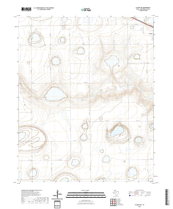
2022 Map of Claude SW
USGS Topo · Published 2022About this map
Claude sits at the northeastern corner of this Panhandle landscape, where the flat plains begin to break toward the canyon systems of the Red River watershed. The drainage of Mulberry Cr cuts through the center of the sheet, creating a distinct topographical signature amidst a grid of rural section roads. This 2022 survey captures the modern ranching and agricultural framework of Armstrong County, defined by an extensive network of Farm to Market roads like Fm 1151 and Fm 3330. The map documents the primary transportation corridor of Us Hwy 287 as it passes through the county seat, while local named routes such as Hotel Rd, Juliet Rd, and Echo Rd suggest the enduring local nomenclature used to navigate this open country.
Find a feature on this map
21 named features on this map. Tap any name to fly to it.
Don’t see what you’re looking for? This feature index may not catch every label — zoom into the map to look around manually.
Map Details
Editions of this 2022 Claude SW Map
This is the sole edition of this map. No revisions or reprints were ever made.
Other maps of this area

1954 · Amarillo
USGS Topo · 1:250,000

1954 · Plainview
USGS Topo · 1:250,000

1956 · Washburn
USGS Topo · 1:24,000

1958 · Amarillo
USGS Topo · 1:250,000

1958 · Plainview
USGS Topo · 1:250,000

1960 · Fairview
USGS Topo · 1:24,000

1960 · Claude
USGS Topo · 1:62,500

1960 · Wayside
USGS Topo · 1:62,500

1963 · Luttrell Springs
USGS Topo · 1:24,000

1963 · Luttrell Springs NE
USGS Topo · 1:24,000