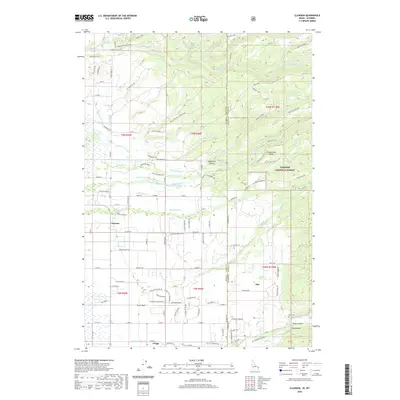
2020 Map of Clawson
USGS Topo · Published 2020About this map
Clawson and Alta anchor this 2020 landscape along the border of Idaho and Wyoming, where the high-altitude agriculture of the Teton Basin meets the western edge of the Targhee National Forest. The map reveals a complex network of irrigation infrastructure essential to this region's valley floor, including the Haden Canal, Kilpack Canal, Center Canal, and the Edison and Ricks Canal. These waterways crisscross a grid of rural ranch roads, such as Badger Creek Ranch Rd and Wydaho Ranch Trl.
Find a feature on this map
116 named features on this map. Tap any name to fly to it.
Don’t see what you’re looking for? This feature index may not catch every label — zoom into the map to look around manually.
Map Details
Editions of this 2020 Clawson Map
This is the sole edition of this map. No revisions or reprints were ever made.
Other maps of this area

1899 · Grand Teton
USGS Topo · 1:125,000

1901 · Grand Teton
USGS Topo · 1:125,000

1943 · Driggs
USGS Topo · 1:62,500

1946 · Driggs
USGS Topo · 1:62,500

1955 · Driggs
USGS Topo · 1:250,000

1958 · Driggs
USGS Topo · 1:250,000

1962 · Driggs
USGS Topo · 1:250,000

1965 · Lamont
USGS Topo · 1:24,000

1965 · Mc Renolds Reservoir
USGS Topo · 1:24,000

1965 · Clawson
USGS Topo · 1:24,000