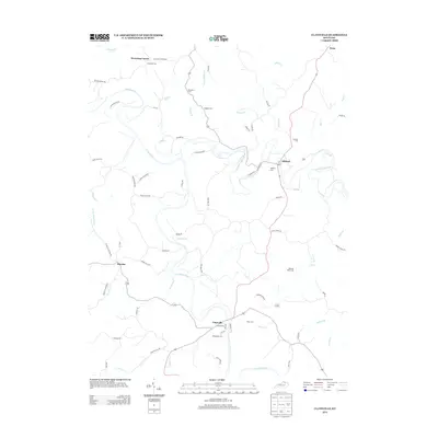
2013 Map of Claysville
USGS Topo · Published 2013About this map
The Licking River and its major tributary, the N Fork Licking River, carve a winding path through this region of Pendleton County. Small rural settlements like Claysville and Milford serve as local anchors, while the terrain is dotted with numerous family and community burial grounds that suggest a long-established agricultural population. Genealogists can find several specific sites of interest, including Whitehead Cem near the river and Browning Cem in the northwest corner near Browning Corner. The road network, including Augusta Dr and Falmouth Sunrise Rd, follows the ridges and valleys between water bodies like Willow Cr and Greasy Cr, illustrating how the drainage patterns of the Licking watershed dictated the placement of local thoroughfares and homesteads.
Find a feature on this map
70 named features on this map. Tap any name to fly to it.
Don’t see what you’re looking for? This feature index may not catch every label — zoom into the map to look around manually.
Map Details
Editions of this 2013 Claysville Map
This is the sole edition of this map. No revisions or reprints were ever made.
Other maps of this area

1929 · Cynthiana
USGS Topo · 1:48,000

1930 · Falmouth
USGS Topo · 1:48,000

1934 · Cynthiana
USGS Topo · 1:62,500

1936 · Falmouth
USGS Topo · 1:62,500

1952 · Mount Olivet
USGS Topo · 1:24,000

1952 · Piqua
USGS Topo · 1:24,000

1952 · Berlin
USGS Topo · 1:24,000

1952 · Shady Nook
USGS Topo · 1:24,000

1952 · Brooksville
USGS Topo · 1:24,000

1952 · Claysville
USGS Topo · 1:24,000