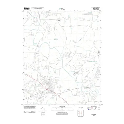
2010 Map of Clayton
USGS Topo · Published 2010About this map
The town of Clayton serves as the central hub of this North Carolina landscape, where residential growth in neighborhoods like Starmont and Rollingwood meets the industrial footprint of the Union Carbide Pond Dam. The Neuse River winds through the center of the sheet, crossed by Baucoms Bridge and joined by tributaries including Marks Creek and Poplar Creek. This 2010 survey documents a transition from traditional rural land use to suburban expansion, evidenced by the numerous family and community burial grounds scattered among new road networks. Local genealogy is well-represented through sites such as Maplewood Cemetery, McCullers Cemetery, and the Pythian Home. To the north and east, smaller settlements like Shotwell and Archer Lodge maintain a more dispersed character, while substantial water bodies like Atkinson Lake and Lake Wheeler illustrate the importance of water management and recreation in the Johnston County area.
Find a feature on this map
87 named features on this map. Tap any name to fly to it.
Don’t see what you’re looking for? This feature index may not catch every label — zoom into the map to look around manually.
Map Details
Editions of this 2010 Clayton Map
This is the sole edition of this map. No revisions or reprints were ever made.
Other maps of this area

1943 · Raleigh
USGS Topo · 1:62,500

1951 · Raleigh
USGS Topo · 1:62,500

1953 · Raleigh
USGS Topo · 1:250,000

1954 · Raleigh
USGS Topo · 1:250,000

1964 · Garner
USGS Topo · 1:24,000

1964 · Flowers
USGS Topo · 1:24,000

1964 · Selma
USGS Topo · 1:62,500

1964 · Clayton
USGS Topo · 1:24,000

1964 · Edmondson
USGS Topo · 1:24,000

1964 · Garner
USGS Topo · 1:62,500