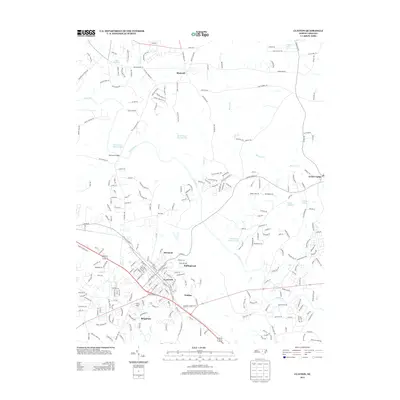
2013 Map of Clayton
USGS Topo · Published 2013About this map
The Clayton area is defined by the winding course of the Neuse River, which anchors a landscape of growing residential neighborhoods and preserved landmarks. Modern suburban development is visible in the established clusters of Starmont, Rollingwood, and Brigadoon, while the Pythian Home stands as a notable institutional landmark on the south side of town. The transition from town center to rural fringe is marked by smaller named settlements like Walden and Shotwell, interspersed with significant water features such as MacGregor Downs Lake and the NCSU Pond Number One. Further east, the map details the proximity of Archer Lodge and the numerous small ponds and millponds, including Yates Millpond and Atkinson Lake, that speak to the region's agricultural past and current water management patterns.
Find a feature on this map
259 named features on this map. Tap any name to fly to it.
Don’t see what you’re looking for? This feature index may not catch every label — zoom into the map to look around manually.
Map Details
Editions of this 2013 Clayton Map
This is the sole edition of this map. No revisions or reprints were ever made.
Other maps of this area

1943 · Raleigh
USGS Topo · 1:62,500

1951 · Raleigh
USGS Topo · 1:62,500

1953 · Raleigh
USGS Topo · 1:250,000

1954 · Raleigh
USGS Topo · 1:250,000

1964 · Garner
USGS Topo · 1:24,000

1964 · Flowers
USGS Topo · 1:24,000

1964 · Selma
USGS Topo · 1:62,500

1964 · Clayton
USGS Topo · 1:24,000

1964 · Edmondson
USGS Topo · 1:24,000

1964 · Garner
USGS Topo · 1:62,500