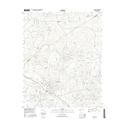
2016 Map of Clayton
USGS Topo · Published 2016About this map
The Clayton area of Johnston County is defined by the winding course of the Neuse River, which cuts a broad valley through the center of this landscape. Historically a railroad and agriculture hub, the town's street grid is clearly established, centered on the intersection of Main Street and Lombard Street near the Maplewood Cem and McCullers Cem. The surrounding countryside is dotted with small family and community burial grounds, such as Hinton Cem and Sasser Cem, reflecting generations of rural settlement. Numerous ponds and mill sites, including Yates Millpond and Smith Pond Number Two, indicate a landscape where local hydrology was carefully managed for industrial and agricultural use. North of the river, the terrain rises toward Chestnut Ridge near the settlement of Shotwell, where the road network transitions from the tight blocks of the town to more irregular routes following the local topography.
Find a feature on this map
209 named features on this map. Tap any name to fly to it.
Don’t see what you’re looking for? This feature index may not catch every label — zoom into the map to look around manually.
Map Details
Editions of this 2016 Clayton Map
This is the sole edition of this map. No revisions or reprints were ever made.
Other maps of this area

1943 · Raleigh
USGS Topo · 1:62,500

1951 · Raleigh
USGS Topo · 1:62,500

1953 · Raleigh
USGS Topo · 1:250,000

1954 · Raleigh
USGS Topo · 1:250,000

1964 · Garner
USGS Topo · 1:24,000

1964 · Flowers
USGS Topo · 1:24,000

1964 · Selma
USGS Topo · 1:62,500

1964 · Clayton
USGS Topo · 1:24,000

1964 · Edmondson
USGS Topo · 1:24,000

1964 · Garner
USGS Topo · 1:62,500