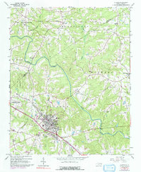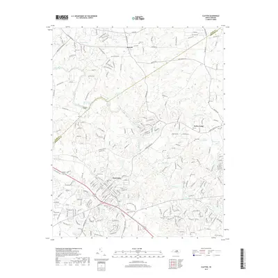
1993 Map of Clayton
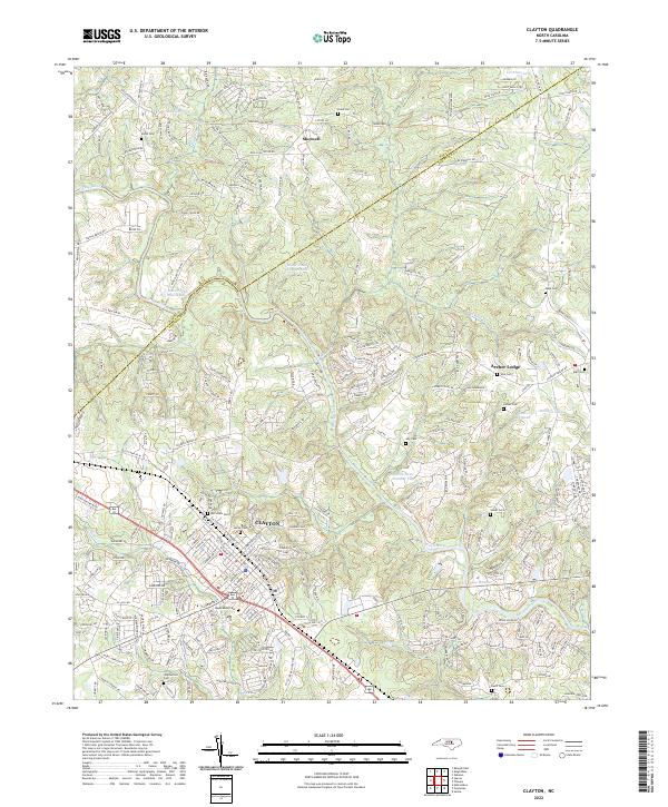
USGS Topo · Published 1999About this map
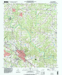
The Neuse River meanders across this landscape on the border of Wake and Johnston counties, anchoring a region defined by agricultural heritage and steady mid-century growth. In the 1990s, the town of Clayton serves as the primary hub, surrounded by a dense network of family-named landmarks and rural institutions that reflect the area's genealogical depth. Numerous historic burying grounds like Maplewood Cem, Amelia Cem, and Stephenson Cem are scattered throughout the countryside, often adjacent to established congregations such as Tippetts Chapel and Good Hope Ch. North of the main settlement, the North Carolina State University Central Crops Research Station stands as a significant landmark of the state's investment in local agriculture. The terrain is deeply bisected by various tributaries including Poplar Creek, Marks Creek, and Little Creek, which shaped the placement of early crossroads like Shotwell and Archers Lodge.
Find a feature on this map
34 named features on this map. Tap any name to fly to it.
Don’t see what you’re looking for? This feature index may not catch every label — zoom into the map to look around manually.
Map Details
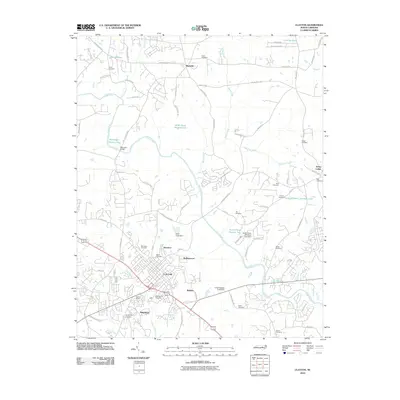
Editions of this 1993 Clayton Map
This is the sole edition of this map. No revisions or reprints were ever made.
Historical Maps of Clayton Through Time
7 maps found