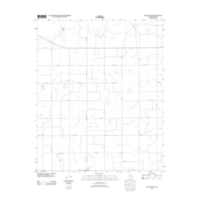
2012 Map of Claytonville
USGS Topo · Published 2012About this map
Claytonville anchors the southern edge of this West Texas landscape, situated at the intersection of Ranch Road 145 and Ranch Road 2301. The surrounding Swisher County terrain is defined by a rigid grid of county roads that crisscross the agricultural plains, providing access to the various farmsteads and fields that dominate the region. To the north, the topography is interrupted by the winding path of Tule Cr and the distinct geography of South Tule Draw, which provide natural drainage through the otherwise flat landscape. The map reveals a highly organized rural infrastructure where named routes like Co Road S1 and Co Road U facilitate movement between isolated agricultural operations and the central hub of Claytonville, illustrating the persistent importance of local road networks in the Texas Panhandle.
Find a feature on this map
19 named features on this map. Tap any name to fly to it.
Don’t see what you’re looking for? This feature index may not catch every label — zoom into the map to look around manually.
Map Details
Editions of this 2012 Claytonville Map
This is the sole edition of this map. No revisions or reprints were ever made.
Other maps of this area

1954 · Plainview
USGS Topo · 1:250,000

1958 · Plainview
USGS Topo · 1:250,000

1965 · Rock Creek
USGS Topo · 1:24,000

1965 · Silverton SW
USGS Topo · 1:24,000

1965 · Cope Creek
USGS Topo · 1:24,000

1968 · Tule Lake
USGS Topo · 1:24,000

1969 · Love
USGS Topo · 1:24,000

1969 · Kress East
USGS Topo · 1:24,000

1969 · Claytonville
USGS Topo · 1:24,000

1969 · Claytonville NW
USGS Topo · 1:24,000