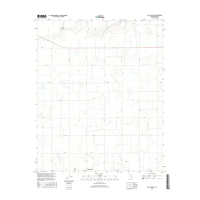
2016 Map of Claytonville
USGS Topo · Published 2016About this map
Claytonville anchors this survey of the High Plains in Swisher County, where a rigid grid of country roads defines the agricultural landscape. The local drainage pattern is marked by the passage of South Tule Draw and Tule Cr across the northern reaches, while Rock Draw cuts through the southwestern corner. These intermittent watercourses and scattered depressional wetlands are characteristic of the Llano Estacado, influencing the placement of transportation routes like Ranch Rd 145 and FM 2301. The map reveals a highly organized rural infrastructure, showing how modern farming and ranching are integrated into the natural topography of the Texas Panhandle.
Find a feature on this map
20 named features on this map. Tap any name to fly to it.
Don’t see what you’re looking for? This feature index may not catch every label — zoom into the map to look around manually.
Map Details
Editions of this 2016 Claytonville Map
This is the sole edition of this map. No revisions or reprints were ever made.
Other maps of this area

1954 · Plainview
USGS Topo · 1:250,000

1958 · Plainview
USGS Topo · 1:250,000

1965 · Rock Creek
USGS Topo · 1:24,000

1965 · Silverton SW
USGS Topo · 1:24,000

1965 · Cope Creek
USGS Topo · 1:24,000

1968 · Tule Lake
USGS Topo · 1:24,000

1969 · Love
USGS Topo · 1:24,000

1969 · Kress East
USGS Topo · 1:24,000

1969 · Claytonville
USGS Topo · 1:24,000

1969 · Claytonville NW
USGS Topo · 1:24,000