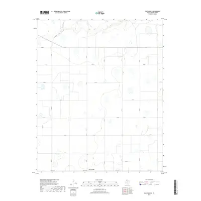
2019 Map of Claytonville
USGS Topo · Published 2019About this map
Claytonville anchors this High Plains landscape in Swisher County, where a rigid grid of rural transport routes overlays the natural drainage of the South Tule Draw. The map illustrates the specialized road network of the Texas Panhandle, characterized by an intersecting system of county roads such as Co Rd T, Co Rd U, and Co Rd V, alongside higher-capacity routes like Fm 2301. In the northern section, the terrain breaks its flat regularity where Tule Cr meanders through the draw, creating one of the few distinct topographical variations in an area otherwise dominated by agricultural parcels. The southern edge is defined by Ranch Rd 145, a primary east-west corridor for the local community.
Find a feature on this map
19 named features on this map. Tap any name to fly to it.
Don’t see what you’re looking for? This feature index may not catch every label — zoom into the map to look around manually.
Map Details
Editions of this 2019 Claytonville Map
This is the sole edition of this map. No revisions or reprints were ever made.
Other maps of this area

1954 · Plainview
USGS Topo · 1:250,000

1958 · Plainview
USGS Topo · 1:250,000

1965 · Rock Creek
USGS Topo · 1:24,000

1965 · Silverton SW
USGS Topo · 1:24,000

1965 · Cope Creek
USGS Topo · 1:24,000

1968 · Tule Lake
USGS Topo · 1:24,000

1969 · Love
USGS Topo · 1:24,000

1969 · Kress East
USGS Topo · 1:24,000

1969 · Claytonville
USGS Topo · 1:24,000

1969 · Claytonville NW
USGS Topo · 1:24,000