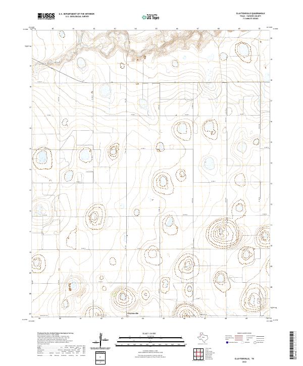
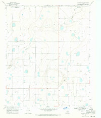
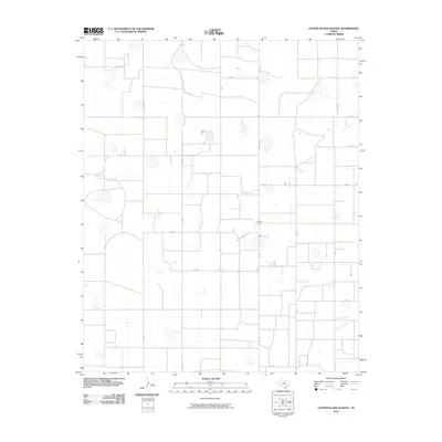
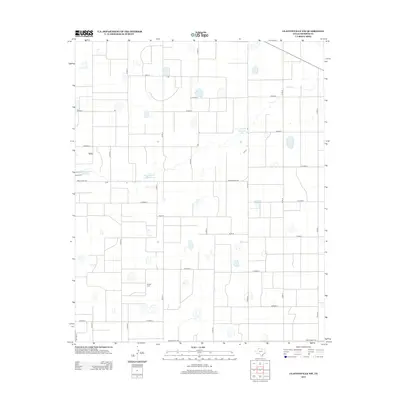
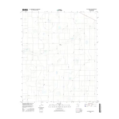
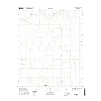
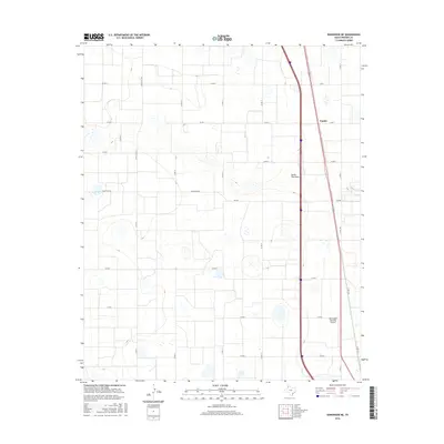
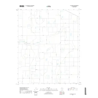
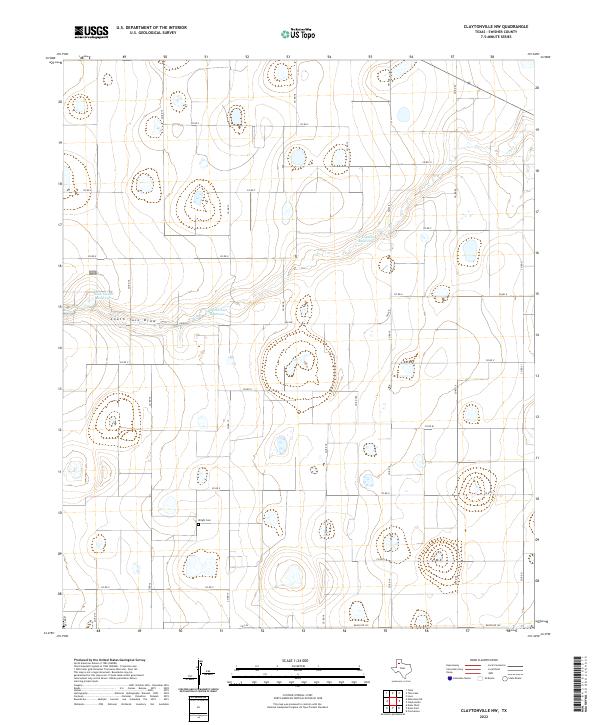
2022 Map of Claytonville
USGS Topo · Published 2022About this map
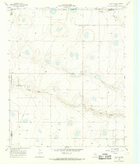
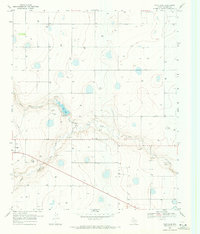
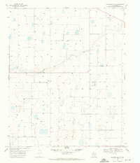
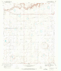
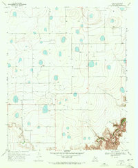
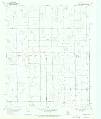
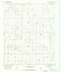
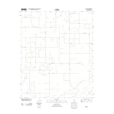
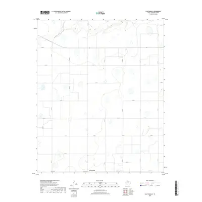
Claytonville anchors this survey of the High Plains in Swisher County, representing a traditional Texas Panhandle agricultural hub. The landscape is defined by the incision of South Tule Draw and Tule Cr across the northern reaches of the quadrangle, providing rare topographic relief in an otherwise strictly partitioned grid of ranching and farmland. A dense network of local routes, including Co Rd S1 and Ranch Rd 145, provides access to the numerous playa lakes and depressions that dot the terrain. The presence of Fm 2301 serves as a primary north-south artery for the community, illustrating the modern infrastructure supporting this rural settlement. This detailed survey captures the intersection of natural drainage patterns and the systematic road layout characteristic of the region's development.
Find a feature on this map
19 named features on this map. Tap any name to fly to it.
Don’t see what you’re looking for? This feature index may not catch every label — zoom into the map to look around manually.
Map Details
Editions of this 2022 Claytonville Map
This is the sole edition of this map. No revisions or reprints were ever made.
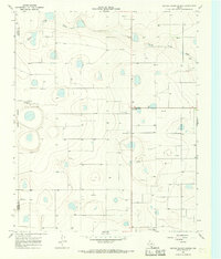
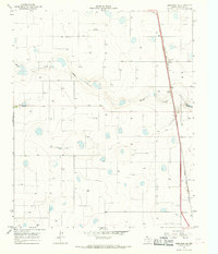
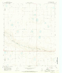
Historical Maps of Claytonville Through Time
66 maps found
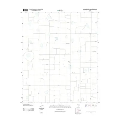
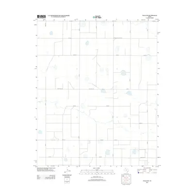
1965 Center Plains School
Swisher County, TX
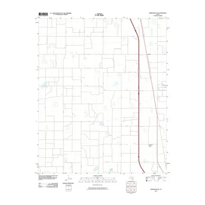
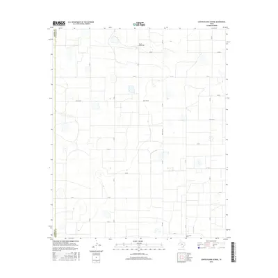
1965 Edmonson NE
Swisher County, TX
1965 Lakeview
Swisher County, TX
1966 Tulia NW
Swisher County, TX
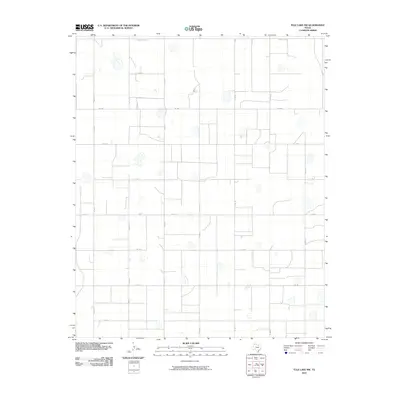
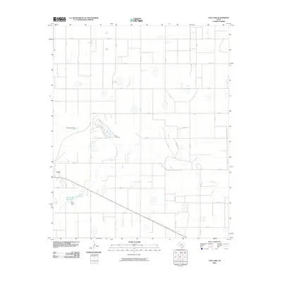
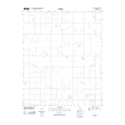
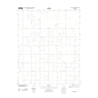
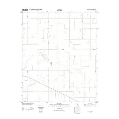
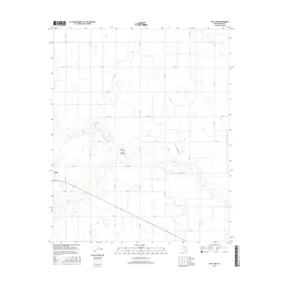
1968 Tule Lake
Swisher County, TX
1969 Claytonville NW
Swisher County, TX
1969 Claytonville
Swisher County, TX
1969 Jackson Hill
Swisher County, TX
1969 Love
Swisher County, TX
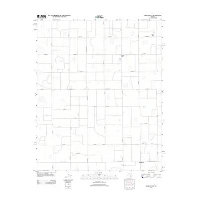
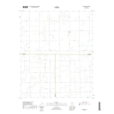
1969 Providence
Swisher County, TX
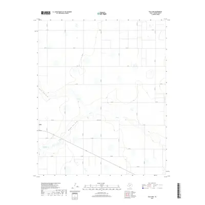
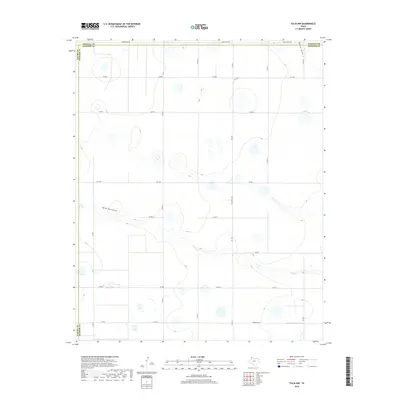
1969 Tule Lake NW
Swisher County, TX
2010 Center Plains School
Swisher County, TX
2010 Claytonville NW
Swisher County, TX
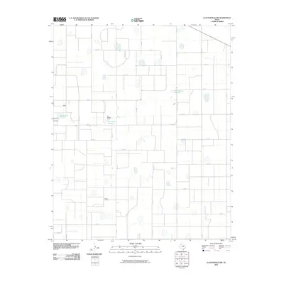
2010 Claytonville
Swisher County, TX
2010 Edmonson NE
Swisher County, TX
2010 Jackson Hill
Swisher County, TX
2010 Lakeview
Swisher County, TX
2010 Love
Swisher County, TX
2010 Providence
Swisher County, TX
2010 Tule Lake NW
Swisher County, TX
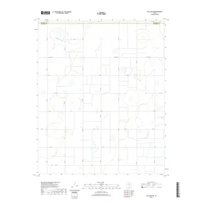
2010 Tule Lake
Swisher County, TX
2010 Tulia NW
Swisher County, TX
2012 Center Plains School
Swisher County, TX
2012 Claytonville NW
Swisher County, TX
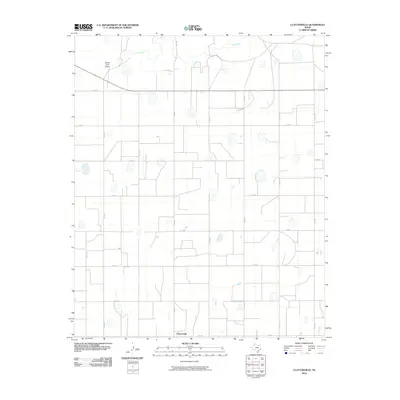
2012 Claytonville
Swisher County, TX
2012 Edmonson NE
Swisher County, TX
2012 Jackson Hill
Swisher County, TX

2012 Lakeview
Swisher County, TX
2012 Love
Swisher County, TX
2012 Providence
Swisher County, TX
2012 Tule Lake NW
Swisher County, TX
2012 Tule Lake
Swisher County, TX
2012 Tulia NW
Swisher County, TX
2016 Center Plains School
Swisher County, TX
2016 Claytonville NW
Swisher County, TX
2016 Claytonville
Swisher County, TX
2016 Edmonson NE
Swisher County, TX
2016 Jackson Hill
Swisher County, TX
2016 Lakeview
Swisher County, TX

2016 Love
Swisher County, TX

2016 Providence
Swisher County, TX
2016 Tule Lake NW
Swisher County, TX
2016 Tule Lake
Swisher County, TX
2016 Tulia NW
Swisher County, TX
2019 Center Plains School
Swisher County, TX
2019 Claytonville NW
Swisher County, TX
2019 Claytonville
Swisher County, TX
2019 Edmonson NE
Swisher County, TX
2019 Jackson Hill
Swisher County, TX
2019 Lakeview
Swisher County, TX

2019 Love
Swisher County, TX
2019 Providence
Swisher County, TX
2019 Tule Lake NW
Swisher County, TX
2019 Tule Lake
Swisher County, TX
2019 Tulia NW
Swisher County, TX
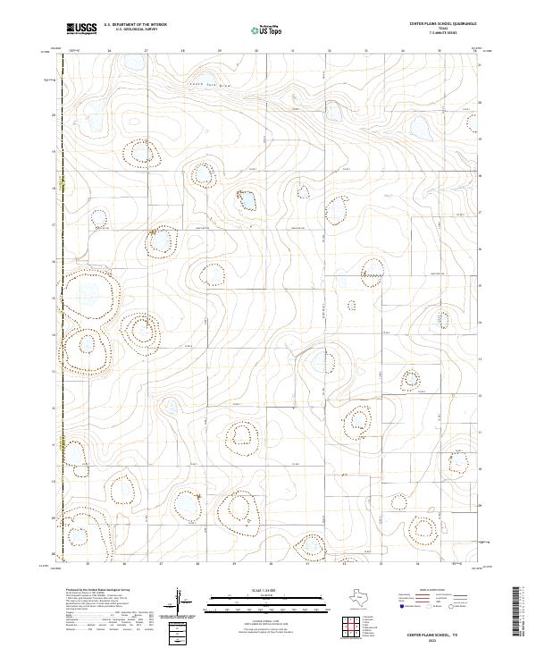
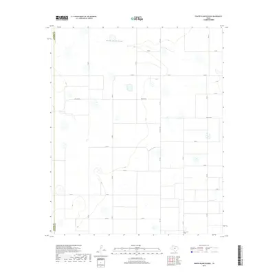
2022 Center Plains School
Swisher County, TX
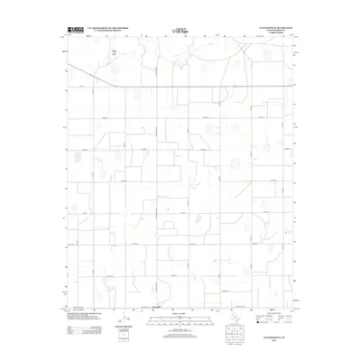
2022 Claytonville NW
Swisher County, TX
2022 Claytonville
Swisher County, TX
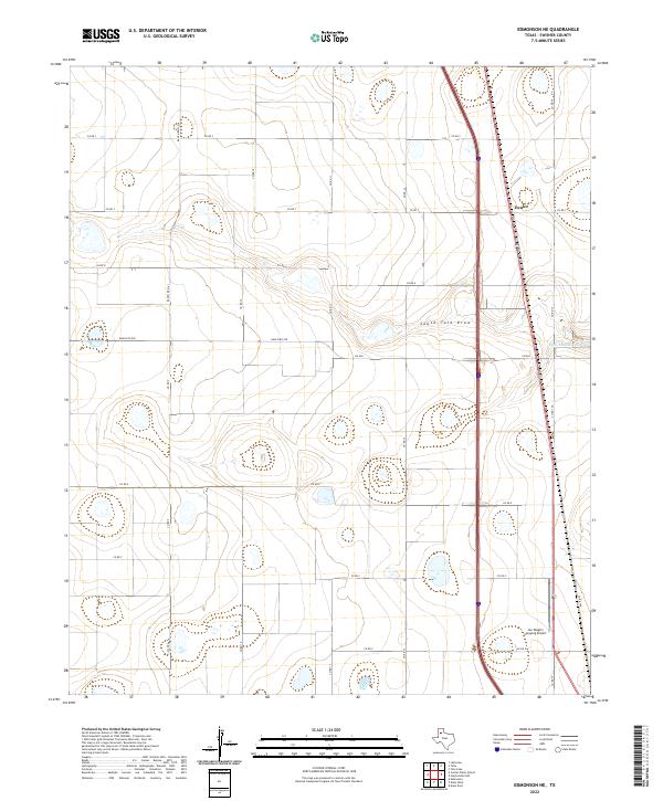
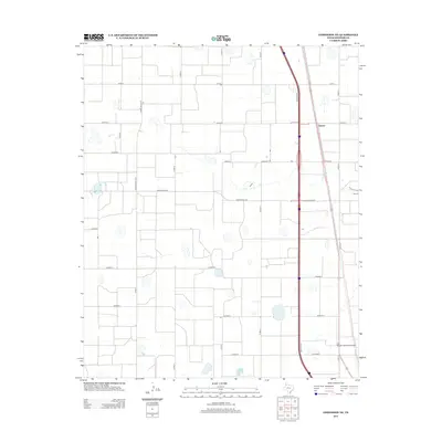
2022 Edmonson NE
Swisher County, TX
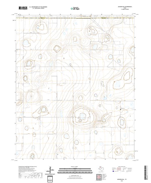
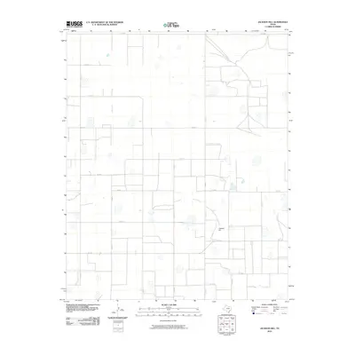
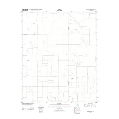
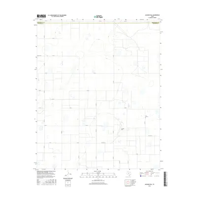
2022 Jackson Hill
Swisher County, TX
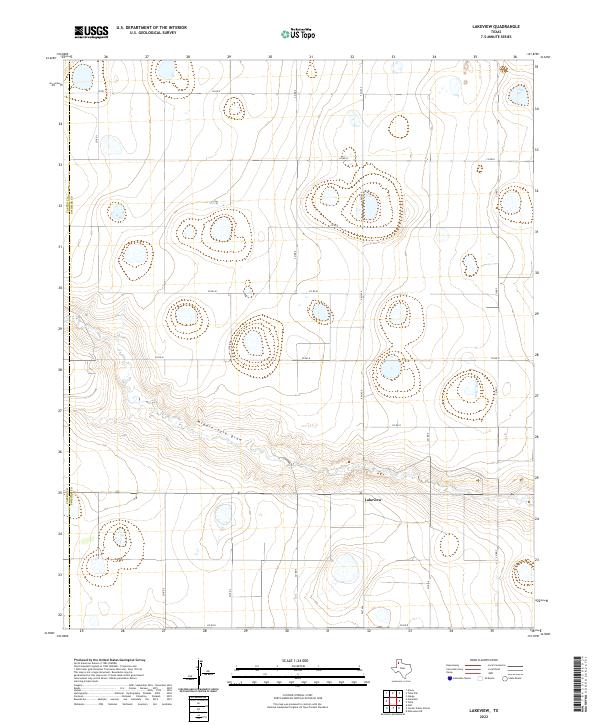
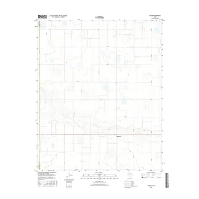
2022 Lakeview
Swisher County, TX
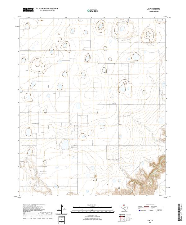
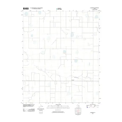
2022 Love
Swisher County, TX
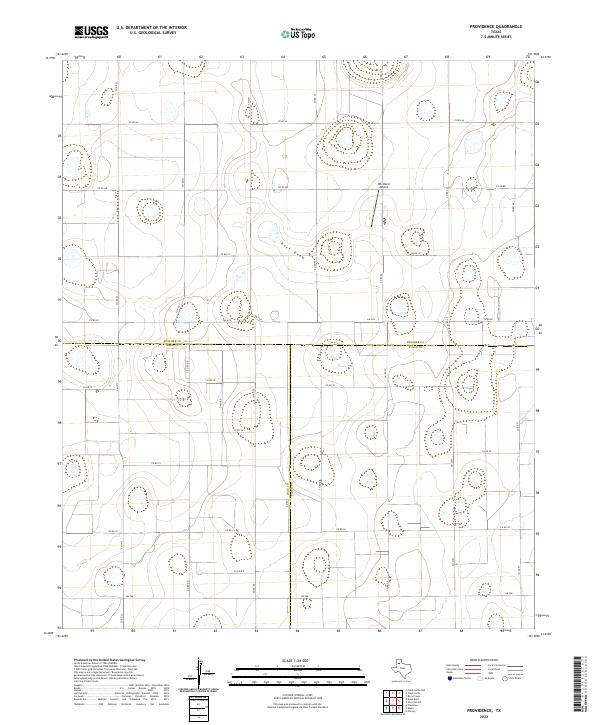
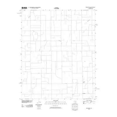
2022 Providence
Swisher County, TX
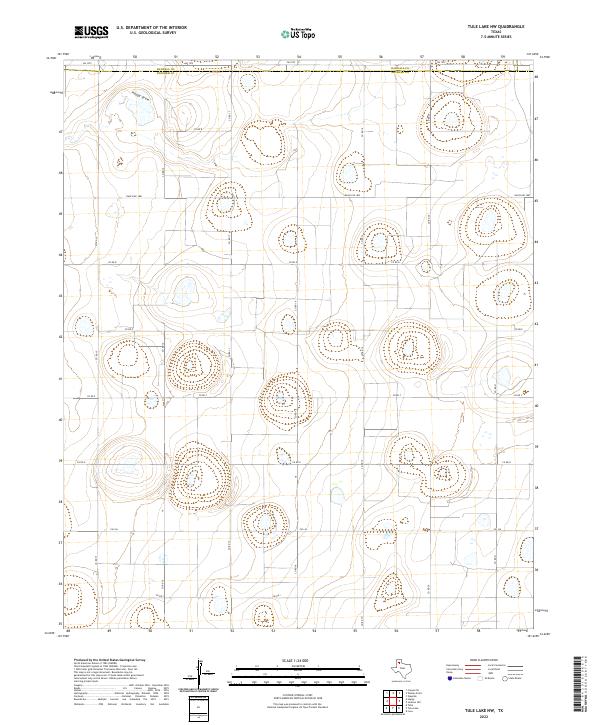
2022 Tule Lake NW
Swisher County, TX
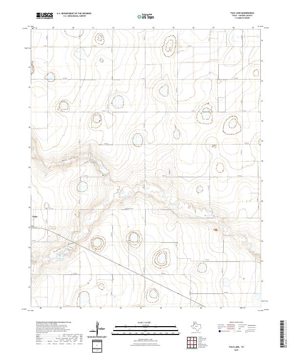
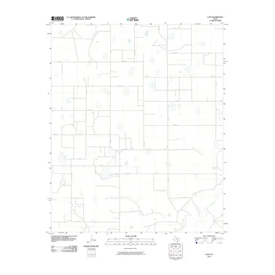
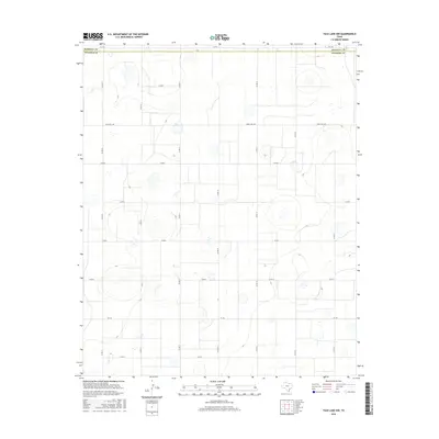
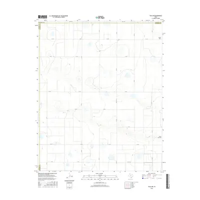
2022 Tule Lake
Swisher County, TX
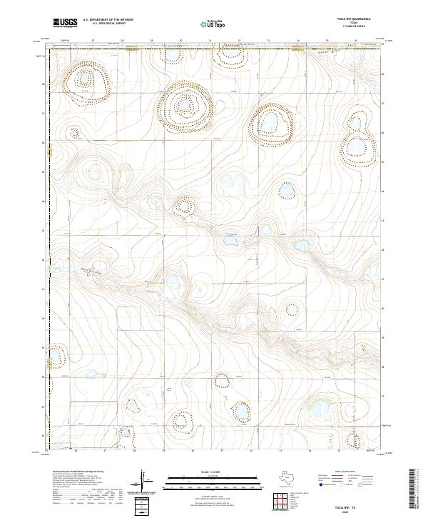
2022 Tulia NW
Swisher County, TX