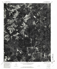
1979 Map of Clayville
USGS Topo · Published 1982About this map
Appomattox River bottomlands define the western edge of this 1979 aerial study, where the river's winding course separates the landscape from the higher ground near Mattoax. The terrain is a patchwork of dense woodland and scattered agricultural clearings, characteristic of the Virginia Piedmont during the late 1970s. Key regional crossroads are documented here, including Skinquarter in the southeast and Genito in the northwest.
Find a feature on this map
10 named features on this map. Tap any name to fly to it.
Don’t see what you’re looking for? This feature index may not catch every label — zoom into the map to look around manually.
Map Details
Editions of this 1979 Clayville Map
This is the sole edition of this map. No revisions or reprints were ever made.
Other maps of this area

1890 · Goochland
USGS Topo · 1:125,000

1892 · Goochland
USGS Topo · 1:125,000

1897 · Amelia
USGS Topo · 1:125,000

1943 · Fine Creek Mills
USGS Topo · 1:31,680

1943 · Powhatan
USGS Topo · 1:31,680

1943 · Amelia
USGS Topo · 1:31,680

1943 · Goodes Bridge
USGS Topo · 1:31,680

1943 · Hallsboro
USGS Topo · 1:31,680

1943 · Clayville
USGS Topo · 1:24,000

1943 · Midlothian
USGS Topo · 1:24,000