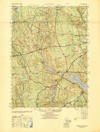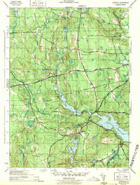
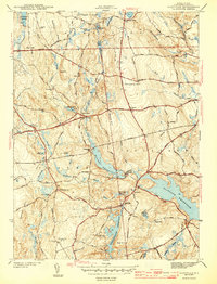
1943 Map of Clayville
USGS Topo · Published 1943About this map
Barden Reservoir and the larger Scituate Reservoir dominate the landscape of western Providence County, illustrating the massive hydrological engineering required for regional water supplies. The mid-century terrain is defined by its transition from agricultural hamlets to a managed watershed, where small settlements like Rockland and Clayville sit near the shorelines of these man-made basins. The map preserves the locations of numerous family and community burial grounds, such as Wilder Cem and New Rockland Cem, which remain as permanent markers of earlier generations in the townships of Foster and Scituate. Primary transportation routes, including the Hartford Pike and Danielson Pike, cut across the rugged hills of Chopmist Hill and Round Hill, connecting the rural interior to the broader state road network during the war years.
Find a feature on this map
43 named features on this map. Tap any name to fly to it.
Don’t see what you’re looking for? This feature index may not catch every label — zoom into the map to look around manually.
Map Details
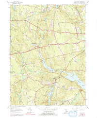
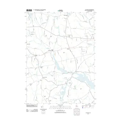
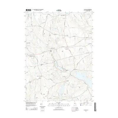
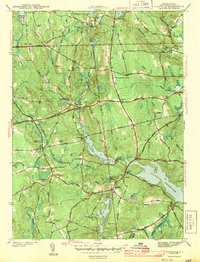
Editions of this 1943 Clayville Map
4 editions found
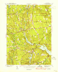
Historical Maps of Scituate Through Time
8 maps found