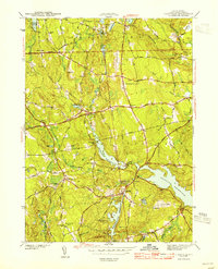
1943 Map of Clayville
USGS Topo · Published 1943About this map
Barden Reservoir and the western reaches of the Scituate Reservoir dominate this 1940s landscape, illustrating the critical role of water management in northern Rhode Island during the mid-twentieth century. The map details a transition from the agricultural and milling history of the Ponaganset River valley to an engineered watershed. Small rural hubs like Clayville and Rockland are shown alongside family burial grounds such as Wilder Cem and Sandy Brook Cem, which provide essential clues for genealogical research. The terrain is marked by significant rises including Chopmist Hill and Pray Hill, which overlook a network of established thoroughfares like Hartford Pike and Central Pike. These routes connected the interior hamlets of Foster Center and South Foster to the expanding metropolitan influence of the east, even as large tracts like Brush Meadow Swamp remained relatively undeveloped.
Find a feature on this map
60 named features on this map. Tap any name to fly to it.
Don’t see what you’re looking for? This feature index may not catch every label — zoom into the map to look around manually.
Map Details
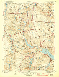
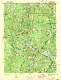
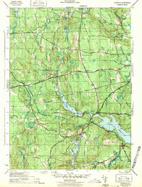
Editions of this 1943 Clayville Map
4 editions found
Other maps of this area

1889 · Putnam
USGS Topo · 1:62,500

1889 · Burrillville
USGS Topo · 1:62,500

1889 · Moosup
USGS Topo · 1:62,500

1890 · Kent
USGS Topo · 1:62,500

1893 · Putnam
USGS Topo · 1:62,500

1893 · Moosup
USGS Topo · 1:62,500

1894 · Burrillville
USGS Topo · 1:62,500

1894 · Kent
USGS Topo · 1:62,500

1915 · Burrillville
USGS Topo · 1:62,500

1919 · Putnam
USGS Topo · 1:62,500