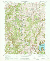
1965 Map of Clear Creek
USGS Topo · Published 1968About this map
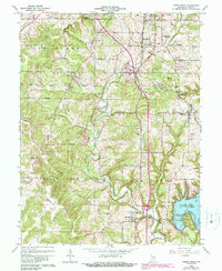
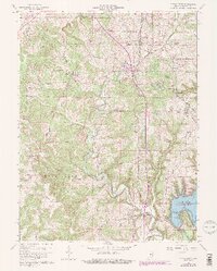
Monroe Reservoir dominates the southeastern portion of this landscape, its waters reaching into the valleys of Salt Creek and Sugar Creek. The limestone industry is prominently displayed through numerous quarries clustered near Victor, Sanders, and the Monon Railroad corridor, reflecting the region's geological significance. This industrial activity is woven between rural settlements such as Harrodsburg and Smithville, where traditional community hubs like Walkers Chapel and Indian Creek Sch served the local population.
Find a feature on this map
60 named features on this map. Tap any name to fly to it.
Don’t see what you’re looking for? This feature index may not catch every label — zoom into the map to look around manually.
Map Details
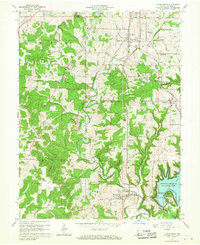
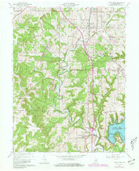
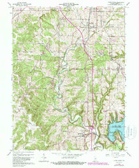
Editions of this 1965 Clear Creek Map
6 editions found
Other maps of this area

1908 · Bloomington
USGS Topo · 1:48,000

1910 · Bloomington
USGS Topo · 1:62,500

1934 · Bedford
USGS Topo · 1:48,000

1935 · Oolitic
USGS Topo · 1:48,000

1937 · Bedford
USGS Topo · 1:62,500

1942 · Franklin
USGS Topo · 1:125,000

1942 · Oolitic
USGS Topo · 1:62,500

1947 · Allens Creek
USGS Topo · 1:24,000

1947 · Unionville
USGS Topo · 1:24,000

1953 · Indianapolis
USGS Topo · 1:250,000