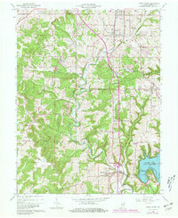
1965 Map of Clear Creek
USGS Topo · Published 1981About this map
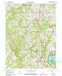
Quarries and limestone operations dominate the landscape south of Bloomington in the mid-1960s, particularly around the settlement of Victor. The industrial footprint of these mines is mapped alongside the essential transit corridors of the Monon Railroad and the Illinois Central Railroad, which historically served the region's stone industry. To the southeast, the creation of Monroe Lake introduces a significant hydrological shift, with its shoreline reaching towards Salt Creek and submerged features near Kelly Point.
Find a feature on this map
74 named features on this map. Tap any name to fly to it.
Don’t see what you’re looking for? This feature index may not catch every label — zoom into the map to look around manually.
Map Details
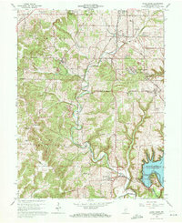
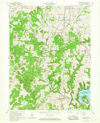
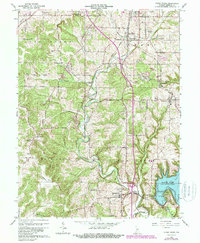
Editions of this 1965 Clear Creek Map
6 editions found
Other maps of this area

1908 · Bloomington
USGS Topo · 1:48,000

1910 · Bloomington
USGS Topo · 1:62,500

1934 · Bedford
USGS Topo · 1:48,000

1935 · Oolitic
USGS Topo · 1:48,000

1937 · Bedford
USGS Topo · 1:62,500

1942 · Franklin
USGS Topo · 1:125,000

1942 · Oolitic
USGS Topo · 1:62,500

1947 · Allens Creek
USGS Topo · 1:24,000

1947 · Unionville
USGS Topo · 1:24,000

1953 · Indianapolis
USGS Topo · 1:250,000