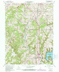
1965 Map of Clear Creek
USGS Topo · Published 1988About this map
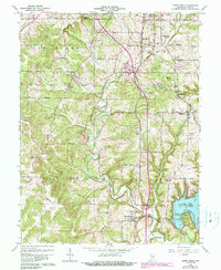
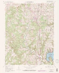
The limestone industry of southern Monroe County is prominently displayed through numerous quarries and quarry sites scattered between Sanders and Victor. This 1965 survey, updated with late-1970s aerial data, reveals a landscape defined by industrial extraction and the shifting infrastructure of the Illinois Central Railroad and the Louisville and Nashville Railroad. The southern portion of the map shows the transition of the landscape following the creation of Monroe Lake, where several areas are noted as subject to controlled inundation near Salt Creek. Historical community centers such as Harrodsburg, Smithville, and Kirksville serve as anchor points for local history, with several rural landmarks like Walkers Chapel and the Clover Hill Cemetery providing essential data for genealogical research in Indian Creek and Clear Creek townships.
Find a feature on this map
59 named features on this map. Tap any name to fly to it.
Don’t see what you’re looking for? This feature index may not catch every label — zoom into the map to look around manually.
Map Details
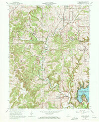
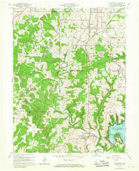
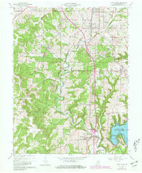
Editions of this 1965 Clear Creek Map
6 editions found
Other maps of this area

1908 · Bloomington
USGS Topo · 1:48,000

1910 · Bloomington
USGS Topo · 1:62,500

1934 · Bedford
USGS Topo · 1:48,000

1935 · Oolitic
USGS Topo · 1:48,000

1937 · Bedford
USGS Topo · 1:62,500

1942 · Franklin
USGS Topo · 1:125,000

1942 · Oolitic
USGS Topo · 1:62,500

1947 · Allens Creek
USGS Topo · 1:24,000

1947 · Unionville
USGS Topo · 1:24,000

1953 · Indianapolis
USGS Topo · 1:250,000