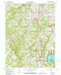
1965 Map of Clear Creek
USGS Topo · Published 1990About this map
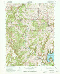
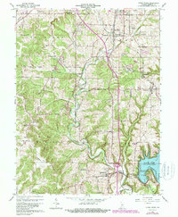
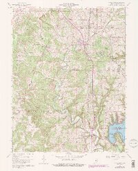
Monroe County’s limestone heritage and shifting transportation networks define this landscape south of Bloomington during the mid-1960s. The map illustrates a region transitioning from rural agricultural life to one shaped by the massive Monroe Lake reservoir and the active extraction of stone. Numerous unnamed Quarries dot the terrain near Sanders and Victor, while the path of the Illinois Central Railroad and the Chicago Indianapolis and Louisville Railroad cut through the hills. This document is particularly valuable for genealogists, as it preserves the locations of local landmarks like Walkers Chapel, Indian Creek Sch, and Mt Salem Cem. The map also captures local recreation and infrastructure, ranging from the Bloomington Speedway near the northern boundary to the early developments of Boat Ramps and lakeside points following the damming of Salt Creek.
Find a feature on this map
68 named features on this map. Tap any name to fly to it.
Don’t see what you’re looking for? This feature index may not catch every label — zoom into the map to look around manually.
Map Details
Editions of this 1965 Clear Creek Map
6 editions found
Other maps of this area

1908 · Bloomington
USGS Topo · 1:48,000

1910 · Bloomington
USGS Topo · 1:62,500

1934 · Bedford
USGS Topo · 1:48,000

1935 · Oolitic
USGS Topo · 1:48,000

1937 · Bedford
USGS Topo · 1:62,500

1942 · Franklin
USGS Topo · 1:125,000

1942 · Oolitic
USGS Topo · 1:62,500

1947 · Allens Creek
USGS Topo · 1:24,000

1947 · Unionville
USGS Topo · 1:24,000

1953 · Indianapolis
USGS Topo · 1:250,000