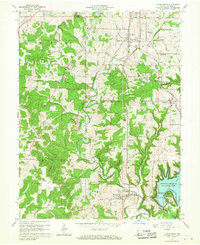
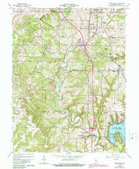
1965 Map of Clear Creek
USGS Topo · Published 1971About this map
The limestone quarrying district south of Bloomington dominates this 1965 survey, where numerous Quarries and extraction sites are clustered near Sanders and Victor. This industrial activity is serviced by a dual-rail network featuring the Illinois Central Railroad and the Monon, which cut through the undulating terrain of Van Buren and Perry townships. In the southeastern corner, the rising waters of the Monroe Reservoir have begun to reshape the landscape at Salt Creek, submerging the lower reaches of Sugar Cr and Judah Branch. Rural life is centered around established settlements like Harrodsburg and Smithville, supported by local institutions such as Clover Hill Cem and Indian Creek Sch. This map illustrates the transition from an economy rooted in stone extraction to one increasingly influenced by the newly created reservoir.
Find a feature on this map
64 named features on this map. Tap any name to fly to it.
Don’t see what you’re looking for? This feature index may not catch every label — zoom into the map to look around manually.
Map Details
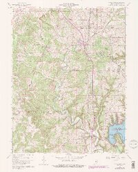
Editions of this 1965 Clear Creek Map
6 editions found
Other maps of this area

1908 · Bloomington
USGS Topo · 1:48,000

1910 · Bloomington
USGS Topo · 1:62,500

1934 · Bedford
USGS Topo · 1:48,000

1935 · Oolitic
USGS Topo · 1:48,000

1937 · Bedford
USGS Topo · 1:62,500

1942 · Franklin
USGS Topo · 1:125,000

1942 · Oolitic
USGS Topo · 1:62,500

1947 · Allens Creek
USGS Topo · 1:24,000

1947 · Unionville
USGS Topo · 1:24,000

1953 · Indianapolis
USGS Topo · 1:250,000