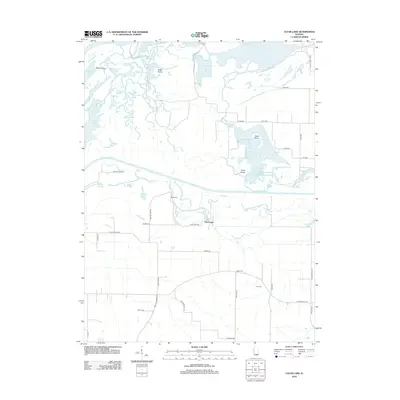
2012 Map of Clear Lake
USGS Topo · Published 2012About this map
The Illinois River and its intricate network of backwaters dominate this Illinois landscape, where the confluence with the Sangamon River creates a complex environment of sloughs and swales. The map reveals the hydrology of the river bottomlands, characterized by features such as Bach Slough, Hog Slough, and Wood Duck Slough. Higher ground is marked by McKay Flats and Eagle Prairie, while the small settlement of Clear Lake sits near the namesake body of water. Family history is well-preserved through numerous small burial grounds, including Wells Cem and Beard Cem. This survey illustrates how local roads like Kuhlman Hill Rd and Chandlerville Rd navigate the low-lying terrain between permanent lakes like Otter Lake and Crane Lake.
Find a feature on this map
58 named features on this map. Tap any name to fly to it.
Don’t see what you’re looking for? This feature index may not catch every label — zoom into the map to look around manually.
Map Details
Editions of this 2012 Clear Lake Map
This is the sole edition of this map. No revisions or reprints were ever made.
Other maps of this area

1926 · Beardstown
USGS Topo · 1:62,500

1929 · Arenzville
USGS Topo · 1:62,500

1930 · Chandlerville
USGS Topo · 1:62,500

1932 · Arenzville
USGS Topo · 1:62,500

1932 · Chandlerville
USGS Topo · 1:62,500

1932 · Virginia
USGS Topo · 1:62,500

1936 · Virginia
USGS Topo · 1:62,500

1944 · Beardstown
USGS Topo · 1:62,500

1948 · Quincy
USGS Topo · 1:250,000

1956 · Quincy
USGS Topo · 1:250,000