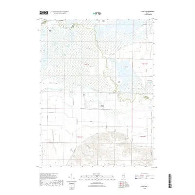
2018 Map of Clear Lake
USGS Topo · Published 2018About this map
The Illinois River and Sangamon River converge in this complex riverine landscape, creating a maze of sloughs, lakes, and low-lying islands along the borders of Schuyler, Cass, and Mason counties. This hydrologic junction defines the area, with the larger Illinois River flowing past Elm Island while the Sangamon River meanders toward its mouth, feeding into a series of large backwater bodies like Clear Lake, Otter Lake, and Crane Lake. The map reveals how the seasonal rise and fall of these rivers has shaped the local geography, leaving behind features such as Eagle Slough, Ash Swale, and Redhead Lake.
Find a feature on this map
66 named features on this map. Tap any name to fly to it.
Don’t see what you’re looking for? This feature index may not catch every label — zoom into the map to look around manually.
Map Details
Editions of this 2018 Clear Lake Map
This is the sole edition of this map. No revisions or reprints were ever made.
Other maps of this area

1926 · Beardstown
USGS Topo · 1:62,500

1929 · Arenzville
USGS Topo · 1:62,500

1930 · Chandlerville
USGS Topo · 1:62,500

1932 · Arenzville
USGS Topo · 1:62,500

1932 · Chandlerville
USGS Topo · 1:62,500

1932 · Virginia
USGS Topo · 1:62,500

1936 · Virginia
USGS Topo · 1:62,500

1944 · Beardstown
USGS Topo · 1:62,500

1948 · Quincy
USGS Topo · 1:250,000

1956 · Quincy
USGS Topo · 1:250,000