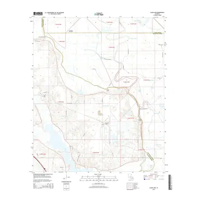
2015 Map of Clear Lake
USGS Topo · Published 2015About this map
Clear Lake and the complex hydrography of the Red River floodplain dominate this 2015 survey of the intersection of Caddo, De Soto, and Red River Parishes. The landscape is defined by the winding paths of the Prairie River, Bayou Lachute, and Boggy Bayou, which carve through the Cannisnia Lake Basin. This area illustrates the characteristic transition between the open waters of the lake and the intricate network of distributaries like Crook All Bayou and Watson Bayou.
Find a feature on this map
52 named features on this map. Tap any name to fly to it.
Don’t see what you’re looking for? This feature index may not catch every label — zoom into the map to look around manually.
Map Details
Editions of this 2015 Clear Lake Map
This is the sole edition of this map. No revisions or reprints were ever made.
Other maps of this area

1941 · East Point
USGS Topo · 1:31,680

1941 · Bossier Point
USGS Topo · 1:31,680

1945 · Mansfield
USGS Topo · 1:62,500

1947 · Ringgold
USGS Topo · 1:62,500

1947 · Mansfield
USGS Topo · 1:62,500

1948 · Coushatta
USGS Topo · 1:62,500

1948 · Caspiana
USGS Topo · 1:62,500

1955 · Shreveport
USGS Topo · 1:250,000

1955 · Caspiana
USGS Topo · 1:62,500

1956 · Shreveport
USGS Topo · 1:250,000