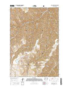
2017 Map of Clear Lake Ridge
USGS Topo · Published 2017About this map
Irrigon Fish Hatchery stands as a significant point of infrastructure within a landscape defined by the intersection of the Wallowa National Forest and the Hells Canyon National Rec Area. The terrain is deeply incised by drainages such as Little Sheep Creek and Big Sheep Creek, which flow through high-elevation corridors like Clear Lake Ridge and Devils Ridge. These natural features, alongside Dead Horse Ridge, demonstrate the complex hydrological patterns of Wallowa County. Several small water bodies, including Clear Lake, Dead Horse Lake, and Downey Lake, are distributed across the high ground, connected by a network of forest roads like Nat For Dev Rd 900. The presence of named gulches such as Devils Gulch and Bear Gulch suggests a history of localized land use and exploration in this high-country environment.
Find a feature on this map
37 named features on this map. Tap any name to fly to it.
Don’t see what you’re looking for? This feature index may not catch every label — zoom into the map to look around manually.
Map Details
Editions of this 2017 Clear Lake Ridge Map
This is the sole edition of this map. No revisions or reprints were ever made.
Other maps of this area

1954 · Imnaha
USGS Topo · 1:62,500

1954 · Harl Butte
USGS Topo · 1:62,500

1955 · Grangeville
USGS Topo · 1:250,000

1957 · Joseph
USGS Topo · 1:62,500

1957 · Elk Mountain
USGS Topo · 1:62,500

1959 · Grangeville
USGS Topo · 1:250,000

1980 · Grangeville
USGS Topo · 1:100,000

1982 · Wallowa
USGS Topo · 1:100,000

1986 · Enterprise
USGS Topo · 1:100,000

1987 · Riggins
USGS Topo · 1:100,000