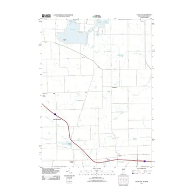
1992 Map of Clear Lake
USGS Topo · Published 1995About this map
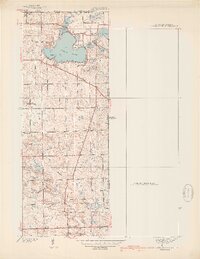
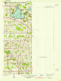
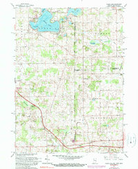
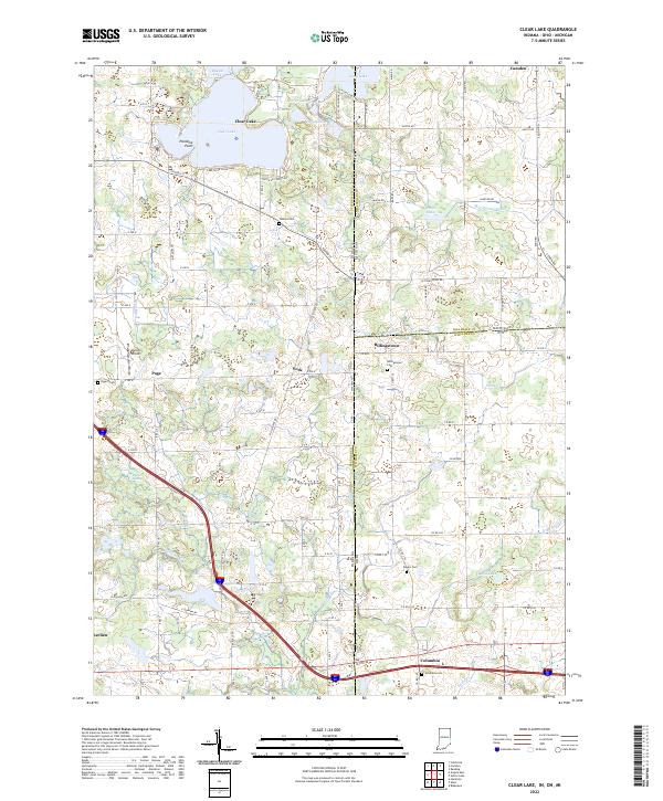
Clear Lake dominates the northwest corner of this map, surrounded by a cluster of smaller water bodies including Round Lake, Lake Anne, and Handy Lake. This tri-state region where Indiana, Michigan, and Ohio meet is characterized by complex hydrography and small agricultural settlements like York, Billingstown, and Columbia. The landscape shows a mix of recreational development at Paradise Pt and essential rural infrastructure, from the Steuben County Speedway to the numerous burial grounds such as Teeters Cem and Dygert Cem.
Find a feature on this map
47 named features on this map. Tap any name to fly to it.
Don’t see what you’re looking for? This feature index may not catch every label — zoom into the map to look around manually.
Map Details
Editions of this 1992 Clear Lake Map
This is the sole edition of this map. No revisions or reprints were ever made.
Historical Maps of Northwest Township Through Time
9 maps found