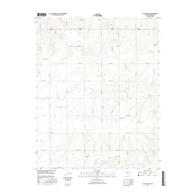
2016 Map of Clear Lake SW
USGS Topo · Published 2016About this map
Sophia Cem and the surrounding high plains of Beaver County define this section of the Oklahoma Panhandle. This landscape is characterized by a high-density grid of section-line roads and numerous named hollows that channel drainage into the local creek systems. Watercourses like Duck Pond Creek and Coon Creek carve shallow paths across the terrain, leading toward the N Fork Kiowa Creek in the southern reaches. The placement of Barier Cem and Mountain View Cem serves as a primary indicator of early 20th-century settlement patterns in this agricultural region, where rural cemeteries often mark the locations of former community centers or family homesteads that have since transitioned into open range and farmland.
Find a feature on this map
32 named features on this map. Tap any name to fly to it.
Don’t see what you’re looking for? This feature index may not catch every label — zoom into the map to look around manually.
Map Details
Editions of this 2016 Clear Lake SW Map
This is the sole edition of this map. No revisions or reprints were ever made.
Other maps of this area

1954 · Perryton
USGS Topo · 1:250,000

1958 · Perryton
USGS Topo · 1:250,000

1971 · Clear Lake NW
USGS Topo · 1:24,000

1971 · Clear Lake SW
USGS Topo · 1:24,000

1971 · Clear Lake
USGS Topo · 1:24,000

1971 · Clear Lake SE
USGS Topo · 1:24,000

1972 · Darrouzett
USGS Topo · 1:24,000

1972 · Gaylord
USGS Topo · 1:24,000

1973 · Booker
USGS Topo · 1:24,000

1973 · Balko NE
USGS Topo · 1:24,000