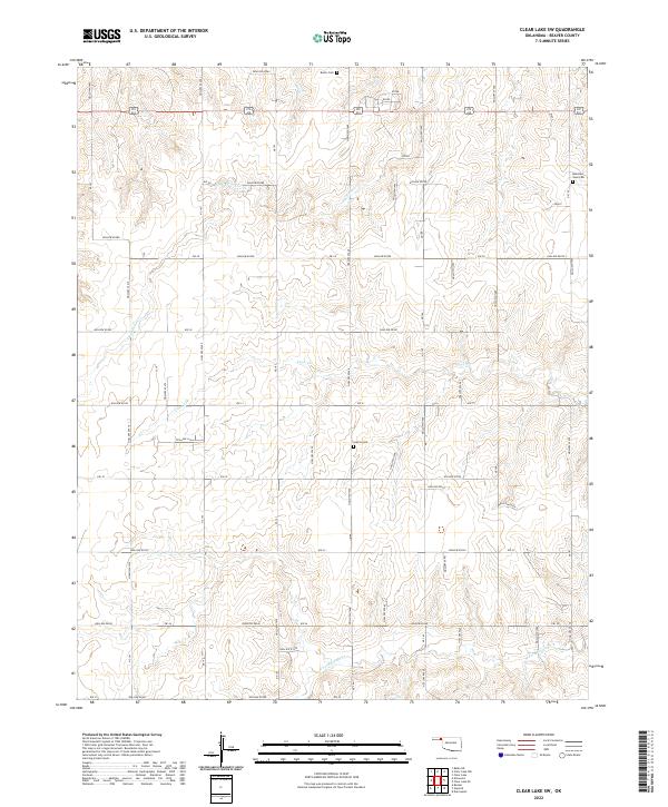
2022 Map of Clear Lake SW
USGS Topo · Published 2022About this map
The High Plains of Beaver County, Oklahoma, are defined by a grid-like network of rural roads such as Ew-28 and Ew-31 that cross a landscape deeply etched by intermittent drainage channels. This 2022 survey illustrates the relationship between the flat upland agricultural sections and the complex topography of numerous hollows, including Hollow e0280 and Hollow n1455, that drain toward the primary watercourses of Duck Pond Cr and Coon Cr. Genealogists and local historians will find several rural burial grounds established throughout the township boundaries of t2n r24e and t1n r25e, notably Barier Cem in the north and Sophia Cem further south. The southern edge of the quadrangle is marked by the winding path of N Fork Kiowa Cr, showing how the land breaks away from the section lines into more varied relief near the watershed.
Find a feature on this map
46 named features on this map. Tap any name to fly to it.
Don’t see what you’re looking for? This feature index may not catch every label — zoom into the map to look around manually.
Map Details
Editions of this 2022 Clear Lake SW Map
This is the sole edition of this map. No revisions or reprints were ever made.
Other maps of this area

1954 · Perryton
USGS Topo · 1:250,000

1958 · Perryton
USGS Topo · 1:250,000

1971 · Clear Lake NW
USGS Topo · 1:24,000

1971 · Clear Lake SW
USGS Topo · 1:24,000

1971 · Clear Lake
USGS Topo · 1:24,000

1971 · Clear Lake SE
USGS Topo · 1:24,000

1972 · Darrouzett
USGS Topo · 1:24,000

1972 · Gaylord
USGS Topo · 1:24,000

1973 · Booker
USGS Topo · 1:24,000

1973 · Balko NE
USGS Topo · 1:24,000