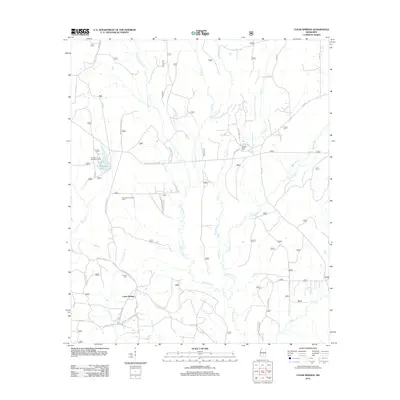
2012 Map of Clear Springs
USGS Topo · Published 2012About this map
Sun and Clear Springs anchor this portion of the Bienville National Forest, where the landscape is defined by a dense network of watercourses and forestry management. The presence of the Bienville Forest Oil Field indicates the industrial utility of the land alongside conservation efforts. A complex system of forest service roads, such as Shopping Center Rd 517 and Shopping Center Rd 506, provides access to the interior timberlands and the Marathon Lake Recreation Area.
Find a feature on this map
41 named features on this map. Tap any name to fly to it.
Don’t see what you’re looking for? This feature index may not catch every label — zoom into the map to look around manually.
Map Details
Editions of this 2012 Clear Springs Map
This is the sole edition of this map. No revisions or reprints were ever made.
Other maps of this area

1921 · Forest
USGS Topo · 1:48,000

1922 · Forest
USGS Topo · 1:62,500

1950 · Forest
USGS Topo · 1:62,500

1952 · Forest
USGS Topo · 1:62,500

1953 · Meridian
USGS Topo · 1:250,000

1957 · Meridian
USGS Topo · 1:250,000

1965 · Meridian
USGS Topo · 1:250,000

1966 · Newton
USGS Topo · 1:24,000

1968 · Clear Springs
USGS Topo · 1:24,000

1968 · Pineville
USGS Topo · 1:24,000