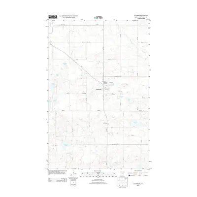
2013 Map of Clearbrook
USGS Topo · Published 2013About this map
Clearbrook serves as the central hub of this Clearwater County landscape, where the agricultural grid is deeply intertwined with the glacial hydrology of northern Minnesota. The settlement is anchored by local landmarks like the Po and the Clearbrook City Park Campground, while its surrounding rural character is defined by a series of family-named water bodies such as Steenerson Lake, Klongerbo Lake, and Taflin Lake. The drainage of Silver Cr and Ruffy Brook winds through the section lines, shaping the placement of early community sites. Genealogists will find significant value in the distribution of local burial grounds, including Elim Cem, Augustana Cem, Silver Creek Cem, and Maple Hill Cem, which are scattered along the section roads and provide a clear record of the area's pioneer heritage and religious congregations.
Find a feature on this map
46 named features on this map. Tap any name to fly to it.
Don’t see what you’re looking for? This feature index may not catch every label — zoom into the map to look around manually.
Map Details
Editions of this 2013 Clearbrook Map
This is the sole edition of this map. No revisions or reprints were ever made.
Other maps of this area

1919 · Fosston
USGS Topo · 1:62,500

1919 · Churnes
USGS Topo · 1:62,500

1919 · Winsor
USGS Topo · 1:62,500

1943 · Bagley
USGS Topo · 1:62,500

1954 · Bemidji
USGS Topo · 1:250,000

1957 · Bemidji
USGS Topo · 1:250,000

1958 · Bemidji
USGS Topo · 1:250,000

1969 · Clearbrook
USGS Topo · 1:24,000

1969 · Leonard
USGS Topo · 1:24,000

1969 · Fosston SE
USGS Topo · 1:24,000