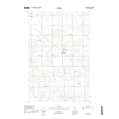
2019 Map of Clearbrook
USGS Topo · Published 2019About this map
Clearbrook and Gonvick anchor this portion of Clearwater County, where a dense network of country roads connects family-held lands and local burial grounds. The landscape is defined by its glacial hydrology, featuring numerous named water bodies such as Sterling Lake, Lindberg Lake, and Deep Lake. Notable for local historians and genealogists, several distinct cemeteries are situated throughout the townships, including Elim Cem, Augustana Cem, Silver Creek Cem, and Maple Hill Cem. The drainage patterns of Silver Cr, Ruffy Brook, and the Lost River dictate the layout of the rural infrastructure. Modern development is concentrated around Clearbrook’s street grid, featuring names like Brook Ave and 1st Ave SW, which stand in contrast to the surrounding agricultural sections and marshlands.
Find a feature on this map
45 named features on this map. Tap any name to fly to it.
Don’t see what you’re looking for? This feature index may not catch every label — zoom into the map to look around manually.
Map Details
Editions of this 2019 Clearbrook Map
This is the sole edition of this map. No revisions or reprints were ever made.
Other maps of this area

1919 · Fosston
USGS Topo · 1:62,500

1919 · Churnes
USGS Topo · 1:62,500

1919 · Winsor
USGS Topo · 1:62,500

1943 · Bagley
USGS Topo · 1:62,500

1954 · Bemidji
USGS Topo · 1:250,000

1957 · Bemidji
USGS Topo · 1:250,000

1958 · Bemidji
USGS Topo · 1:250,000

1969 · Clearbrook
USGS Topo · 1:24,000

1969 · Leonard
USGS Topo · 1:24,000

1969 · Fosston SE
USGS Topo · 1:24,000