
1932 Map of Clearfield
USGS Topo · Published 1932About this map
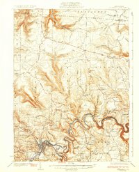
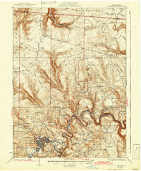
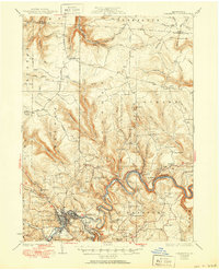
The Susquehanna River winds in dramatic loops through the center of this survey, serving as the geographic anchor for settlements like Shawville and Croft. In the early 1930s, the region around Clearfield shows a landscape deeply integrated with transportation and rural education, featuring the New York Central Railroad corridor and a high density of one-room schoolhouses such as Williams Dale Sch and Mt Sinai Sch.
Find a feature on this map
102 named features on this map. Tap any name to fly to it.
Don’t see what you’re looking for? This feature index may not catch every label — zoom into the map to look around manually.
Map Details
Editions of this 1932 Clearfield Map
4 editions found
Other maps of this area

1903 · Curwensville
USGS Topo · 1:62,500

1903 · Houtzdale
USGS Topo · 1:62,500

1905 · Houtzdale
USGS Topo · 1:62,500

1922 · Philipsburg
USGS Topo · 1:62,500

1929 · Karthaus
USGS Topo · 1:62,500

1929 · Clearfield
USGS Topo · 1:48,000

1929 · Penfield
USGS Topo · 1:62,500

1932 · Penfield
USGS Topo · 1:62,500

1932 · Karthaus
USGS Topo · 1:62,500

1939 · Curwensville
USGS Topo · 1:62,500