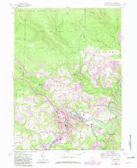
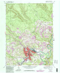
1959 Map of Clearfield
USGS Topo · Published 1981About this map
The West Branch Susquehanna River and Clearfield Creek converge in this Pennsylvania landscape, where industrial activity and civic development meet the edges of the Moshannon State Forest. The town of Clearfield serves as the focal point, showing a dense street grid supporting the County Home, a Hospital, and numerous neighborhood schools like Third Ward Sch and Hillsdale Sch. The presence of the Fairground and Athletic Field highlights the community's social hubs, while the outlying areas are defined by the extensive footprint of Strip Mine operations that wrap around the hillsides of Mt Joy.
Find a feature on this map
64 named features on this map. Tap any name to fly to it.
Don’t see what you’re looking for? This feature index may not catch every label — zoom into the map to look around manually.
Map Details
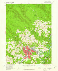
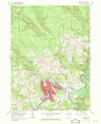
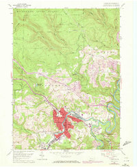
Editions of this 1959 Clearfield Map
5 editions found
Other maps of this area

1903 · Curwensville
USGS Topo · 1:62,500

1903 · Houtzdale
USGS Topo · 1:62,500

1905 · Houtzdale
USGS Topo · 1:62,500

1929 · Clearfield
USGS Topo · 1:48,000

1929 · Penfield
USGS Topo · 1:62,500

1932 · Clearfield
USGS Topo · 1:62,500

1932 · Penfield
USGS Topo · 1:62,500

1939 · Curwensville
USGS Topo · 1:62,500

1942 · Curwensville
USGS Topo · 1:62,500

1943 · Punxsutawney
USGS Topo · 1:125,000
Featured Places
- Clearfield, PA
- Goshen Township, PA
- Pine Township, PA
- Lawrence Township, PA
- Kerr Addition, Lawrence Township