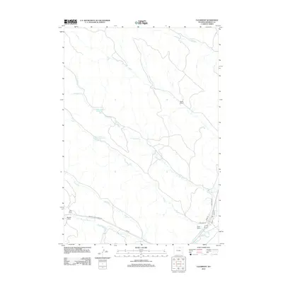
2012 Map of Clearmont
USGS Topo · Published 2012About this map
The irrigation and drainage network of northern Wyoming's high plains defines this landscape, as seen in the extensive Pratt and Ferris Ditch Number 2 which channels water through the Clearmont area. The reliance on water management is evident through various impoundments like Snider Reservoir Number 6 and the Shider Number 1 Town Draw Reservoir, supporting a landscape otherwise marked by seasonal drainages such as Sand Draw and Maxted Draw.
Find a feature on this map
17 named features on this map. Tap any name to fly to it.
Don’t see what you’re looking for? This feature index may not catch every label — zoom into the map to look around manually.
Map Details
Editions of this 2012 Clearmont Map
This is the sole edition of this map. No revisions or reprints were ever made.
Other maps of this area

1909 · Sheridan
USGS Topo · 1:125,000

1911 · Sheridan
USGS Topo · 1:125,000

1955 · Sheridan
USGS Topo · 1:250,000

1958 · Sheridan
USGS Topo · 1:250,000

1962 · Sheridan
USGS Topo · 1:250,000
1970 · Ulm
USGS Topo · 1:24,000
1970 · Ucross
USGS Topo · 1:24,000
1970 · S R Springs
USGS Topo · 1:24,000
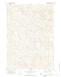
1971 · Shuler Draw
USGS Topo · 1:24,000
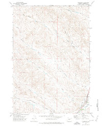
1971 · Clearmont
USGS Topo · 1:24,000