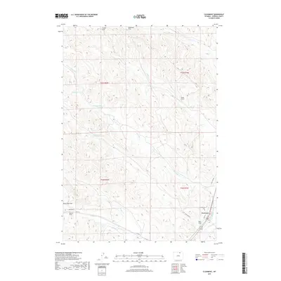
2017 Map of Clearmont
USGS Topo · Published 2017About this map
Clearmont sits at the confluence of the high plains and vital water resources in Sheridan County, anchored by its position along Clear Creek. The settlement pattern reflects the necessity of water management in this semi-arid environment, evidenced by the complex irrigation network of the Pratt and Ferris Ditch Number 2 and upland water storage like Snider Reservoir Number 6. The landscape is defined by an intricate system of drainages, including the ominously named Dead Mans Draw and Brug-Lusher Draw, which shape the local topography. Local history and genealogy are preserved at Sunnybrook Cemetery on the edge of town, while the surrounding ranching country is accessed via routes like Co RD 42 and Town Draw RD. This 2017 survey documents a modern layout of a classic Wyoming creek-side community, where name-branded landmarks like Maxted Draw and Pinhead Creek underscore the area's deep-rooted ranching heritage.
Find a feature on this map
25 named features on this map. Tap any name to fly to it.
Don’t see what you’re looking for? This feature index may not catch every label — zoom into the map to look around manually.
Map Details
Editions of this 2017 Clearmont Map
This is the sole edition of this map. No revisions or reprints were ever made.
Other maps of this area

1909 · Sheridan
USGS Topo · 1:125,000

1911 · Sheridan
USGS Topo · 1:125,000

1955 · Sheridan
USGS Topo · 1:250,000

1958 · Sheridan
USGS Topo · 1:250,000

1962 · Sheridan
USGS Topo · 1:250,000
1970 · Ulm
USGS Topo · 1:24,000
1970 · Ucross
USGS Topo · 1:24,000
1970 · S R Springs
USGS Topo · 1:24,000
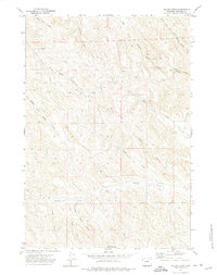
1971 · Shuler Draw
USGS Topo · 1:24,000
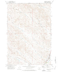
1971 · Clearmont
USGS Topo · 1:24,000