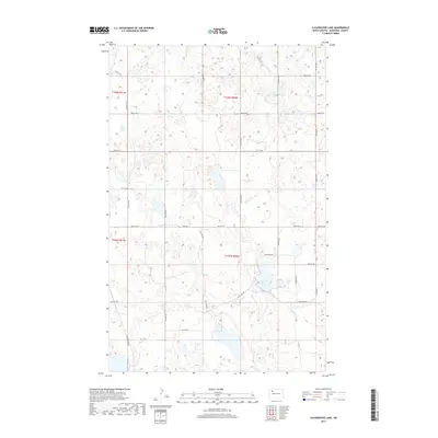
2017 Map of Clearwater Lake
USGS Topo · Published 2017About this map
Clearwater Lake serves as the central focal point of this northwestern North Dakota landscape in Mountrail County. The terrain is characterized by numerous small prairie potholes and seasonal wetlands, typical of the glaciated plains. A geometric grid of section lines and gravel roads, including 78th Ave NW and 74th St NW, defines the land use patterns in this rural area. The presence of Clearlake Rd provides local access to the water's edge, while Prairie Trl skirts the eastern boundary. This survey illustrates the persistent township and range system, specifically noting t158n r91w and t157n r90w, which has dictated agricultural and residential boundaries since settlement.
Find a feature on this map
26 named features on this map. Tap any name to fly to it.
Don’t see what you’re looking for? This feature index may not catch every label — zoom into the map to look around manually.
Map Details
Editions of this 2017 Clearwater Lake Map
This is the sole edition of this map. No revisions or reprints were ever made.
Other maps of this area

1949 · Mosquito Butte
USGS Topo · 1:24,000

1950 · Kenmare
USGS Topo · 1:62,500

1953 · Williston
USGS Topo · 1:250,000

1957 · Williston
USGS Topo · 1:250,000

1969 · Stanley
USGS Topo · 1:24,000

1969 · Stanley SE
USGS Topo · 1:24,000

1974 · Lostwood Lakes
USGS Topo · 1:24,000

1978 · Westby Lake
USGS Topo · 1:24,000

1981 · Stanley SE
USGS Topo · 1:24,000

1981 · Lostwood
USGS Topo · 1:24,000