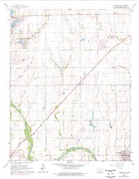
1965 Map of Clearwater
USGS Topo · Published 1976About this map
The Ninnescah River carves through the southern portion of this landscape, anchoring a region defined by agricultural plots and emerging energy production. Near the river, the Clearwater Oil Field and scattered Oil Wells indicate the sub-surface industrial activity that shaped the local economy in the mid-1960s. The city of Clearwater sits at the intersection of road and rail, while the village of Clonmel serves as a smaller landmark to the north.
Find a feature on this map
27 named features on this map. Tap any name to fly to it.
Don’t see what you’re looking for? This feature index may not catch every label — zoom into the map to look around manually.
Map Details
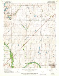
Editions of this 1965 Clearwater Map
2 editions found
Other maps of this area

1889 · Cheney
USGS Topo · 1:125,000

1889 · Wichita
USGS Topo · 1:125,000

1889 · Caldwell
USGS Topo · 1:125,000

1890 · Wellington
USGS Topo · 1:125,000

1891 · Cheney
USGS Topo · 1:125,000

1893 · Caldwell
USGS Topo · 1:125,000

1894 · Wichita
USGS Topo · 1:125,000

1897 · Caldwell
USGS Topo · 1:125,000

1901 · Cheney
USGS Topo · 1:125,000

1943 · Wichita West
USGS Topo · 1:31,680