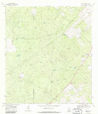
1969 Map of Clegg NE
USGS Topo · Published 1986About this map
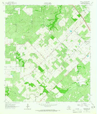
Mc Mullen and Live Oak counties meet in this 1969 topographic portrait of a landscape defined by ranching and energy extraction. The region is crisscrossed by an extensive network of pipelines and numerous energy extraction points, including scattered Oil Wells and Gas Wells. Water management in this arid South Texas terrain is evidenced by a high density of named windmills and tanks, including the uniquely named Piggly Wiggly Windmill and the Nine Hundred Windmill near Rhode Ranch Road. Residential and agricultural life centers on several large holdings such as Lyle Ranch and Iley Ranch, the latter of which features the Iley Ranch Landing Strip. Natural drainages like Ramirena Creek and Leopard Branch cut through the terrain, providing essential landmarks for local navigation and historic land use patterns.
Find a feature on this map
38 named features on this map. Tap any name to fly to it.
Don’t see what you’re looking for? This feature index may not catch every label — zoom into the map to look around manually.
Map Details
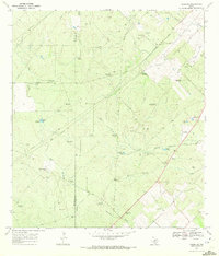
Editions of this 1969 Clegg NE Map
2 editions found
Other maps of this area

1920 · Mikeska
USGS Topo · 1:125,000

1927 · Oakville
USGS Topo · 1:62,500

1929 · Simmons
USGS Topo · 1:62,500

1953 · Crystal City
USGS Topo · 1:250,000

1955 · Crystal City
USGS Topo · 1:250,000

1961 · Crystal City
USGS Topo · 1:250,000
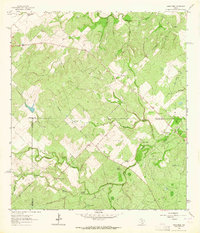
1963 · Anna Rose
USGS Topo · 1:24,000
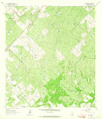
1963 · Elm Creek
USGS Topo · 1:24,000
1963 · Oakville SW
USGS Topo · 1:24,000

1968 · Crystal City
USGS Topo · 1:250,000