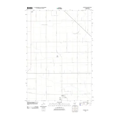
2010 Map of Clements
USGS Topo · Published 2010About this map
Clements serves as the primary community anchor in this portion of Redwood County, characterized by a highly organized agricultural grid. The landscape is defined by extensive drainage engineering, as evidenced by the long, straight runs of County Ditch Number Twenty-two and County Ditch Number One Hundred Six. These features reflect the historic transformation of the regional prairie into productive farmland, a process also indicated by the Three Lakes Lakebed, which suggests a significant modification of the natural hydrology to accommodate settlement and cultivation. Family history and local heritage are concentrated at the southern edge of the township, where the Saint Joseph Cemetery and Bethlehem Cemetery are located near the Clements Post Office. Farther north, the Crestlawn Memorial Garden provides another point of genealogical interest along the section roads.
Find a feature on this map
22 named features on this map. Tap any name to fly to it.
Don’t see what you’re looking for? This feature index may not catch every label — zoom into the map to look around manually.
Map Details
Editions of this 2010 Clements Map
This is the sole edition of this map. No revisions or reprints were ever made.
Other maps of this area

1952 · Morton
USGS Topo · 1:62,500

1952 · Redwood Falls
USGS Topo · 1:62,500

1953 · Morgan
USGS Topo · 1:62,500

1953 · New Ulm
USGS Topo · 1:250,000

1957 · New Ulm
USGS Topo · 1:250,000

1958 · New Ulm
USGS Topo · 1:250,000

1967 · New Ulm
USGS Topo · 1:250,000

1967 · Wanda
USGS Topo · 1:24,000

1967 · Clements
USGS Topo · 1:24,000

1967 · Clements SE
USGS Topo · 1:24,000