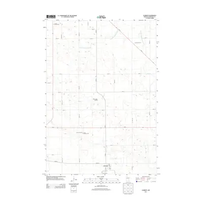
2013 Map of Clements
USGS Topo · Published 2013About this map
Clements serves as the primary hub for this agricultural portion of Redwood County, characterized by a meticulous grid of rural roads and an extensive network of water management features. The landscape is defined by its transition from natural hydrology to engineered drainage, seen in the winding path of Wabasha Cr contrasted against straight-lined improvements like County Ditch Number Twenty-two and County Ditch Number One Hundred Six. A notable local geographical feature is the Three Lakes Lakebed, suggesting the historical presence of surface water that has since been reclaimed for other uses.
Find a feature on this map
33 named features on this map. Tap any name to fly to it.
Don’t see what you’re looking for? This feature index may not catch every label — zoom into the map to look around manually.
Map Details
Editions of this 2013 Clements Map
This is the sole edition of this map. No revisions or reprints were ever made.
Other maps of this area

1952 · Morton
USGS Topo · 1:62,500

1952 · Redwood Falls
USGS Topo · 1:62,500

1953 · Morgan
USGS Topo · 1:62,500

1953 · New Ulm
USGS Topo · 1:250,000

1957 · New Ulm
USGS Topo · 1:250,000

1958 · New Ulm
USGS Topo · 1:250,000

1967 · New Ulm
USGS Topo · 1:250,000

1967 · Wanda
USGS Topo · 1:24,000

1967 · Clements
USGS Topo · 1:24,000

1967 · Clements SE
USGS Topo · 1:24,000