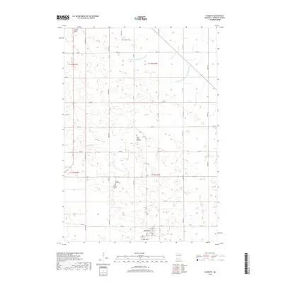
2019 Map of Clements
USGS Topo · Published 2019About this map
Clements serves as the primary hub for this agricultural landscape in Redwood County, located at the intersection of local routes like Co Rd 16. The town is flanked by essential community sites including Saint Joseph Cem and Bethlehem Cem, while Crestlawn Memorial Garden is situated to the northwest. For genealogists, the appearance of the Matthew Wilson Plot and Robert Montgomery Plot provides rare documentation of specific family land associations.
Find a feature on this map
27 named features on this map. Tap any name to fly to it.
Don’t see what you’re looking for? This feature index may not catch every label — zoom into the map to look around manually.
Map Details
Editions of this 2019 Clements Map
This is the sole edition of this map. No revisions or reprints were ever made.
Other maps of this area

1952 · Morton
USGS Topo · 1:62,500

1952 · Redwood Falls
USGS Topo · 1:62,500

1953 · Morgan
USGS Topo · 1:62,500

1953 · New Ulm
USGS Topo · 1:250,000

1957 · New Ulm
USGS Topo · 1:250,000

1958 · New Ulm
USGS Topo · 1:250,000

1967 · New Ulm
USGS Topo · 1:250,000

1967 · Wanda
USGS Topo · 1:24,000

1967 · Clements
USGS Topo · 1:24,000

1967 · Clements SE
USGS Topo · 1:24,000