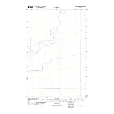
2010 Map of Clementson SW
USGS Topo · Published 2010About this map
The Rapid River system defines this corner of Koochiching County, showing a landscape shaped by slow-moving water and a strictly regulated grid of transport. This 2010 survey by the U. S. Geological Survey captures the meandering course of the main river and the East Fork Rapid River as they wind through the northern Minnesota lowlands. Below these watercourses, Bartons Brook cuts across the central portion of the map, flowing through an area where the wilderness is partitioned by a network of county roads. The transport pattern here is defined by long, straight stretches of highway, including County Hwy-7 and County Hwy-82, which facilitate movement through the dense terrain between these drainage systems. The presence of Town Road 9 along the eastern edge highlights the local infrastructure that supports this sparsely populated region.
Find a feature on this map
12 named features on this map. Tap any name to fly to it.
Don’t see what you’re looking for? This feature index may not catch every label — zoom into the map to look around manually.
Map Details
Editions of this 2010 Clementson SW Map
This is the sole edition of this map. No revisions or reprints were ever made.
Other maps of this area

1919 · Knutson
USGS Topo · 1:62,500

1921 · Baudette
USGS Topo · 1:62,500

1954 · Roseau
USGS Topo · 1:250,000

1957 · Roseau
USGS Topo · 1:250,000

1958 · Roseau
USGS Topo · 1:250,000

1968 · Baudette SE
USGS Topo · 1:24,000

1968 · Clementson
USGS Topo · 1:24,000

1968 · Border
USGS Topo · 1:24,000

1968 · Clementson SW
USGS Topo · 1:24,000

1968 · Clementson SE
USGS Topo · 1:24,000