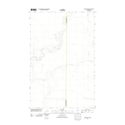
2013 Map of Clementson SW
USGS Topo · Published 2013About this map
Rapid River defines the landscape of this northern Minnesota interior, winding through a region where the border between Lake of the Woods and Koochiching Counties is marked only by a survey line. The water system is the primary structural element here, with the main branch joined by the E Fork Rapid River and the meandering path of Bartons Brook. This is a landscape of drainage and low-lying topography, where human infrastructure is minimal. The only named terrestrial route, Town Road 9, skims the northeastern corner of the map, illustrating the isolation and specialized nature of this border-country terrain. This 2013 survey provides a detailed record of the natural hydrology before any modern development or reforestation might alter these quiet watersheds.
Find a feature on this map
5 named features on this map. Tap any name to fly to it.
Don’t see what you’re looking for? This feature index may not catch every label — zoom into the map to look around manually.
Map Details
Editions of this 2013 Clementson SW Map
This is the sole edition of this map. No revisions or reprints were ever made.
Other maps of this area

1919 · Knutson
USGS Topo · 1:62,500

1921 · Baudette
USGS Topo · 1:62,500

1954 · Roseau
USGS Topo · 1:250,000

1957 · Roseau
USGS Topo · 1:250,000

1958 · Roseau
USGS Topo · 1:250,000

1968 · Baudette SE
USGS Topo · 1:24,000

1968 · Clementson
USGS Topo · 1:24,000

1968 · Border
USGS Topo · 1:24,000

1968 · Clementson SW
USGS Topo · 1:24,000

1968 · Clementson SE
USGS Topo · 1:24,000