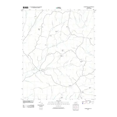
2010 Map of Clementsville
USGS Topo · Published 2010About this map
Clementsville and Atterson anchor this rural landscape in central Kentucky, where a complex network of ridgelines and creek bottoms defines the local settlement pattern. The topography is dominated by distinctively named high ground, such as Chicken Gizzard Ridge and Pennington Ridge, which separate the various branches of Casey Creek and Gum Lick Creek. This 2010 survey shows the area's rural character through its dispersed farmsteads, country churches like Noel Chapel, and several local burial grounds including Gilpin Cemetery and Belton Cemetery. The presence of the Liberty-Casey County Airport near Possum Trot Ridge indicates a point of modern infrastructure amidst the traditional ridge-and-hollow terrain. To the south, settlements at Creston and Rheber sit near the headwaters of Locust Creek and Rifle Creek, illustrating how community life remains tied to the narrow valleys and upland passes of the region.
Find a feature on this map
65 named features on this map. Tap any name to fly to it.
Don’t see what you’re looking for? This feature index may not catch every label — zoom into the map to look around manually.
Map Details
Editions of this 2010 Clementsville Map
This is the sole edition of this map. No revisions or reprints were ever made.
Other maps of this area

1952 · Ellisburg
USGS Topo · 1:24,000

1952 · Clementsville
USGS Topo · 1:24,000

1952 · Liberty
USGS Topo · 1:24,000

1952 · Mannsville
USGS Topo · 1:24,000

1952 · Bradfordsville
USGS Topo · 1:24,000

1953 · Bradfordsville NE
USGS Topo · 1:24,000

1953 · Phil
USGS Topo · 1:24,000

1953 · Dunnville
USGS Topo · 1:24,000

1953 · Bradfordsville
USGS Topo · 1:24,000

1954 · Knifley
USGS Topo · 1:24,000