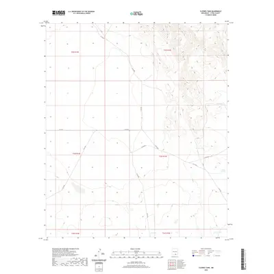
2020 Map of Cleones Tank
USGS Topo · Published 2020About this map
Cleones Tank serves as a primary water source in this arid stretch of Otero County, where the landscape is defined by its network of essential stock tanks and unpaved access routes. This recent inventory by the U.S. Geological Survey details the vital infrastructure of the high desert ranching economy, showing how water management dictates the utility of the land. Key landmarks include the widely dispersed North Tank, Earl Tank, and Horse Tank, which are linked by a grid of county roads such as Co Rd E001 and Co Rd F052. The map illustrates the topographic transition between flat basins and rising elevations, with the numbered Number 11 Tank situated along the eastern slopes. For those studying New Mexico land use, these labels provide precise locations for water improvements and survey boundaries that have supported regional livestock operations for generations.
Find a feature on this map
20 named features on this map. Tap any name to fly to it.
Don’t see what you’re looking for? This feature index may not catch every label — zoom into the map to look around manually.
Map Details
Editions of this 2020 Cleones Tank Map
This is the sole edition of this map. No revisions or reprints were ever made.
Other maps of this area

1954 · Carlsbad
USGS Topo · 1:250,000

1958 · Carlsbad
USGS Topo · 1:250,000

1959 · Alamo Mountain
USGS Topo · 1:62,500
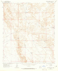
1963 · Cornucopia Ranch SE
USGS Topo · 1:24,000

1963 · Indian Draw
USGS Topo · 1:24,000

1963 · Cleones Tank
USGS Topo · 1:24,000

1970 · Shiloh Hills
USGS Topo · 1:24,000
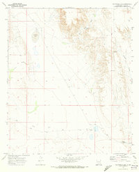
1970 · Van Winkle Lake
USGS Topo · 1:24,000

1975 · Alamo Mountain NE
USGS Topo · 1:24,000

1979 · Crow Flats
USGS Topo · 1:100,000