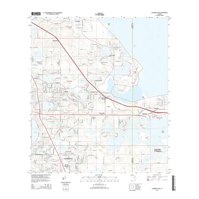
2015 Map of Clermont East
USGS Topo · Published 2015About this map
The rolling lake district of Central Florida unfolds here, dominated by the expansive Lake Apopka to the east and the intricate chain of waters surrounding Clermont. The landscape is a complex network of internal drainage basins, where named features like Shepherd Lake, Lake Florence, and Johns Lake are interspersed with citrus-growing history and modern residential growth. Along the shorelines, several distinct islands rise from the marshes, including Pine Island, Deer Island, and Turkey Island.
Find a feature on this map
65 named features on this map. Tap any name to fly to it.
Don’t see what you’re looking for? This feature index may not catch every label — zoom into the map to look around manually.
Map Details
Editions of this 2015 Clermont East Map
This is the sole edition of this map. No revisions or reprints were ever made.
Other maps of this area

1953 · Windermere
USGS Topo · 1:24,000

1955 · Orlando
USGS Topo · 1:250,000

1956 · Winter Garden
USGS Topo · 1:24,000

1957 · Orlando
USGS Topo · 1:250,000

1958 · Orlando
USGS Topo · 1:250,000

1959 · Lake Nellie
USGS Topo · 1:24,000

1959 · Lake Louisa
USGS Topo · 1:24,000

1960 · Apopka
USGS Topo · 1:24,000

1962 · Orlando
USGS Topo · 1:250,000

1962 · Clermont East
USGS Topo · 1:24,000