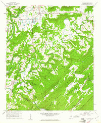
1958 Map of Cleveland
USGS Topo · Published 1961About this map
Cleveland serves as a central hub in this mid-century topographic survey of Blount County, where the L & N railroad winds through the valleys between Sand Mountain and Straight Mountain. The landscape is defined by the complex hydrology of the Locust Fork Black Warrior River and its numerous tributaries like Calvert Prong. The map captures a moment when rural life centered around local landmarks such as the Hendrick Mill and several community churches, including Daileys Chapel and Greens Chapel. For genealogists, the inclusion of several family-named burial grounds like Chitwood Cem and Brown-Hudson Cem provides essential location data. Industry is present through the Quarry and Chert Pit labels, while the river's winding path creates distinctive terrain features like Hair Bend and Horseshoe Bend. The transition from river valley to the ridgelines of Chert Ridge illustrates the classic geography of the Alabama foothills.
Find a feature on this map
92 named features on this map. Tap any name to fly to it.
Don’t see what you’re looking for? This feature index may not catch every label — zoom into the map to look around manually.
Map Details
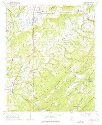
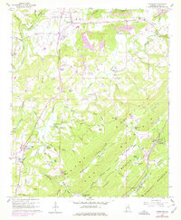
Editions of this 1958 Cleveland Map
3 editions found
Other maps of this area

1885 · Gadsden
USGS Topo · 1:125,000

1888 · Cullman
USGS Topo · 1:125,000

1888 · Gadsden
USGS Topo · 1:125,000

1889 · Springville
USGS Topo · 1:125,000

1889 · Birmingham
USGS Topo · 1:125,000

1892 · Cullman
USGS Topo · 1:125,000

1892 · Birmingham
USGS Topo · 1:125,000

1892 · Springville
USGS Topo · 1:125,000

1892 · Gadsden
USGS Topo · 1:125,000

1895 · Gadsden
USGS Topo · 1:125,000