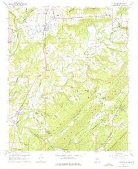
1958 Map of Cleveland
USGS Topo · Published 1976About this map
Little Warrior River and the Locust Fork carve through this Blount County landscape, defining a region of steep ridges and fertile valleys. The map illustrates a rural economy transitioning toward mid-century modernization, with the L & N railroad line connecting settlements like Allgood and Graystone. Notable local infrastructure includes the Hendrick Mill Covered Bridge and another Covered Bridge further north, which represent traditional river crossings alongside newer spans like Moss Bridge.
Find a feature on this map
79 named features on this map. Tap any name to fly to it.
Don’t see what you’re looking for? This feature index may not catch every label — zoom into the map to look around manually.
Map Details
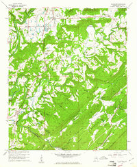
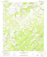
Editions of this 1958 Cleveland Map
3 editions found
Other maps of this area

1885 · Gadsden
USGS Topo · 1:125,000

1888 · Cullman
USGS Topo · 1:125,000

1888 · Gadsden
USGS Topo · 1:125,000

1889 · Springville
USGS Topo · 1:125,000

1889 · Birmingham
USGS Topo · 1:125,000

1892 · Cullman
USGS Topo · 1:125,000

1892 · Birmingham
USGS Topo · 1:125,000

1892 · Springville
USGS Topo · 1:125,000

1892 · Gadsden
USGS Topo · 1:125,000

1895 · Gadsden
USGS Topo · 1:125,000